MyTopo
Churchill Lake Maine US Topo Map
Couldn't load pickup availability
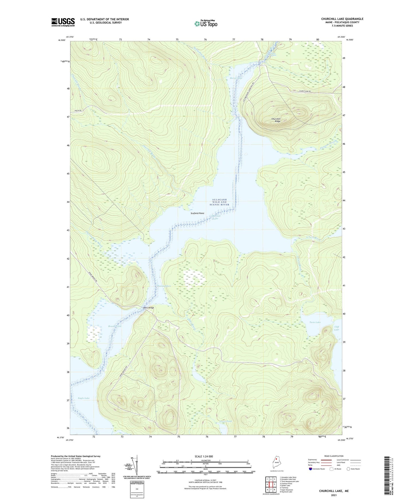
2024 topographic map quadrangle Churchill Lake in the state of Maine. Scale: 1:24000. Based on the newly updated USGS 7.5' US Topo map series, this map is in the following counties: Piscataquis. The map contains contour data, water features, and other items you are used to seeing on USGS maps, but also has updated roads and other features. This is the next generation of topographic maps. Printed on high-quality waterproof paper with UV fade-resistant inks.
Quads adjacent to this one:
West: Clarkson Pond
Northwest: Umsaskis Lake West
North: Umsaskis Lake East
Northeast: Third Musquacook Lake
East: Spider Lake
Southeast: Haymock Lake
South: Soper Mountain
Southwest: Tramway
This map covers the same area as the classic USGS quad with code o46069d3.
Contains the following named places: Allagash State Wilderness Waterway, Chase Rapids, Churchill Brook, Churchill Dam, Churchill Dam Campsite, Churchill Depot, Churchill Lake, Churchill Ridge, Heron Lake, High Bank Campsite, Johns Bridge, Lewis Pond, Little Eagle Campsite, McCluskey Brook, North Twin Brook, Otter Brook, Otter Pond, Pleasant Stream, Round Pond, Scofield Cove Campsite, Scofield Point, Soper Brook, South Twin Brook, T9 R12 WELS, The Jaws Campsite, Thoroughfare, Thoroughfare Brook, Twin Lake, Zeigler Campsite