MyTopo
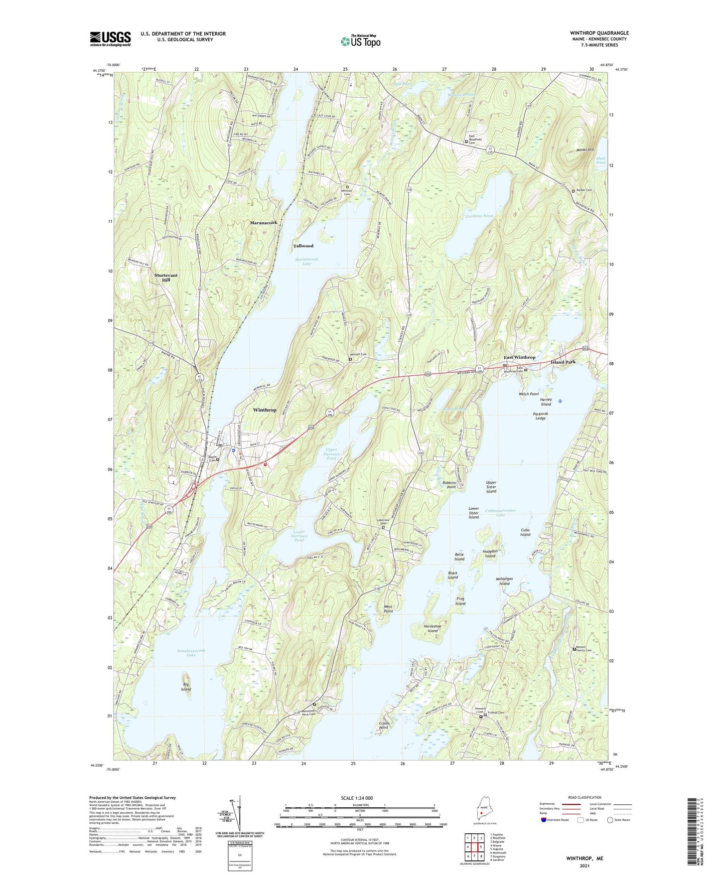
Winthrop Maine US Topo Map
Couldn't load pickup availability
2024 topographic map quadrangle Winthrop in the state of Maine. Scale: 1:24000. Based on the newly updated USGS 7.5' US Topo map series, this map is in the following counties: Kennebec. The map contains contour data, water features, and other items you are used to seeing on USGS maps, but also has updated roads and other features. This is the next generation of topographic maps. Printed on high-quality waterproof paper with UV fade-resistant inks.
Quads adjacent to this one:
West: Wayne
Northwest: Fayette
North: Readfield
Northeast: Belgrade
East: Augusta
Southeast: Gardiner
South: Purgatory
Southwest: Monmouth
This map covers the same area as the classic USGS quad with code o44069c8.
Contains the following named places: Annabessacook Lake, Barber Cemetery, Beaver Brook, Belle Island, Benson Family Cemetery, Big Island, Black Island, Bog Brook, Brainard Pond, Carleton Pond, Carleton Pond Dam, Charles M Bailey Public Library, Cobbosseecontee Lake Dam, Crams Point, Cuba Island, East Readfield Cemetery, East Winthrop, East Winthrop Cemetery, Fowler Seaplane Base, Friends Cemetery, Frog Island, Hersey Island, Hodgdon Island, Horseshoe Island, Howard Cemetery, Hoyt Brook, Island Park, Kezar Brook, Kezar Pond, Lakeside Marina Seaplane Base, Lakeview Cemetery, Lily Pond, Little Cobbosseecontee Lake, Lower Narrows Pond, Lower Sister Island, Maple Cemetery, Maranacook, Maranacook Camp, Maranacook Lake, Maranacook Lake Upper Dam, Mears Brook, Metcalf Cemetery, Mill Pond, Mill Pond Dam, Molazigan Island, Monks Hill, Monmouth Neck Cemetery, Packards Ledge, Readfield Elementary School, Richards Island, Robbins Point, Shed Pond, Sturtevant Hill, Tallwood, Town of Winthrop, Upper Narrows Pond, Upper Sister Island, Welch Point, West Point, Whittier Cemetery, Wilson Stream, Winthrop, Winthrop Ambulance Service, Winthrop Census Designated Place, Winthrop Center, Winthrop Grade School, Winthrop High School, Winthrop Middle School, Winthrop Police Department, Winthrop Post Office, Winthrop Volunteer Fire Department, WWLA-TV (Lewiston), ZIP Codes: 04343, 04364


