MyTopo
Oakland Maryland US Topo Map
Couldn't load pickup availability
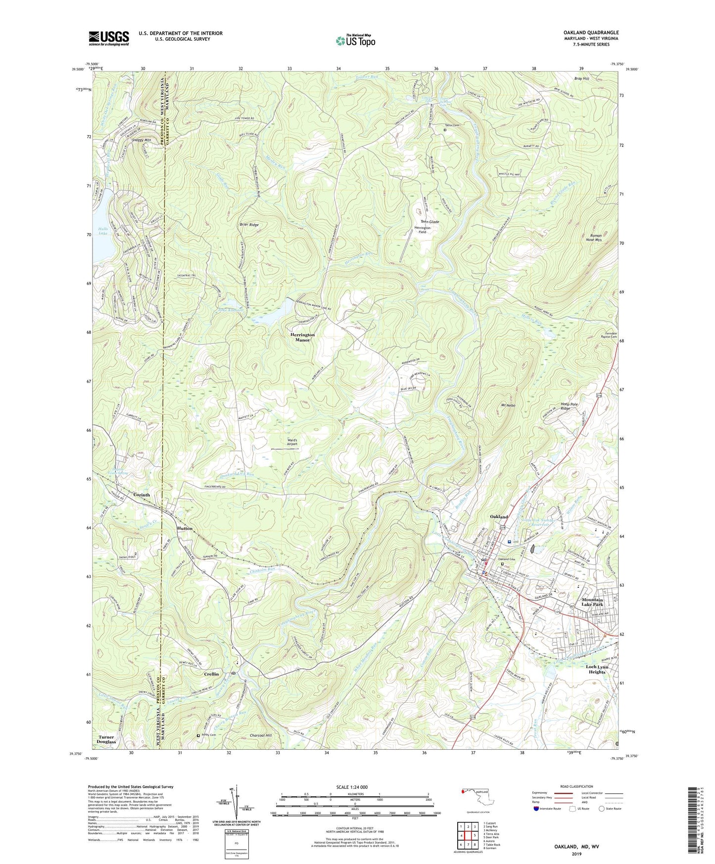
2023 topographic map quadrangle Oakland in the states of Maryland, West Virginia. Scale: 1:24000. Based on the newly updated USGS 7.5' US Topo map series, this map is in the following counties: Garrett, Preston. The map contains contour data, water features, and other items you are used to seeing on USGS maps, but also has updated roads and other features. This is the next generation of topographic maps. Printed on high-quality waterproof paper with UV fade-resistant inks.
Quads adjacent to this one:
West: Terra Alta
Northwest: Cuzzart
North: Sang Run
Northeast: McHenry
East: Deer Park
Southeast: Gorman
South: Table Rock
Southwest: Aurora
Contains the following named places: Alpine Lake Resort and Conference Center, Alpine Lake Resort Golf Course, Appalachian Lake Dam, Ashby Cemetery, Bethel United Methodist Church, Bradley Run, Bray School, Brier Ridge, Camp Minnetoska, Camp Whitethorn, Cherry Bottom Run, Cherry Glade Run, Chisholm Run, Corinth, Corinth Census Designated Place, Corinth United Methodist Church, Cotton Run, Crellin, Crellin Census Designated Place, Crellin Elementary School, Crellin Post Office, Dayton Evans Spring, District 14 West Oakland, District 7 East Oakland, Dunkard Lick Run, Garrett County Courthouse, Garrett County Detention Center, Garrett County Memorial Hospital Heliport, Garrett County Sheriff's Office, Garrett Regional Medical Center, Glade Run, Herrington Creek Dam, Herrington Field, Herrington Manor, Herrington Manor Recreation Area Reservoir, Herrington Manor State Park, Herrington Run, Hulls Lake, Hutton, Hutton Census Designated Place, Kitzmiller Volunteer Fire Department, Lake Herrington, Lake Koshare, Laurel Run, Little Laurel Run, Little Yok Number 1 Reservoir, Little Yok Number 2 Reservoir, Little Yok Number 3 Reservoir, Little Youghiogheny River, Little Youghiogheny River Site Number 2 Dam, Little Youghiogheny Site Number 1 Dam, McComas Dam, Millers Run, Mitchell Manor, Mount Nebo, Mount Nebo State Forest and Game Preserve, Mountain Lake Park, Murley Run, New Herrington School, Oak Shoals, Oakland, Oakland Cemetery, Oakland Elementary School, Oakland Golf Course, Oakland Police Department, Oakland Post Office, Oakland Volunteer Fire Department Station 40, Roman Nose Mountain, Round Glade Run, Ruth Enlow Library of Garrett County, Saint Marks Lutheran Church, Saint Matthews Episcopal Church, Saint Pauls United Methodist Church, Skipnish, Snaggy Mountain, Snaggy Mountain Lookout Tower, Snowy Creek, Southern Garrett County Rescue Squad Station 9, Southern Garrett High School, Station 9 Rescue Squad, Swallow Falls School, Swallow Falls State Forest, Swallow Falls State Park, Teen Glade, Toliver Run, Tolliver Falls, Town of Mountain Lake Park, Town of Oakland, Trout Run, Turner Douglass, Upper Swallow Falls, Ward's Airport, White Meadow Run, William Taylor Sines Cemetery, Wilson Run, WMSG-AM (Oakland), ZIP Code: 21550


