MyTopo
Cuzzart West Virginia US Topo Map
Couldn't load pickup availability
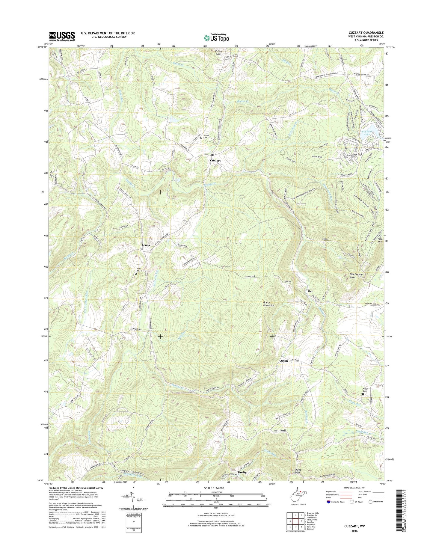
2023 topographic map quadrangle Cuzzart in the state of West Virginia. Scale: 1:24000. Based on the newly updated USGS 7.5' US Topo map series, this map is in the following counties: Preston. The map contains contour data, water features, and other items you are used to seeing on USGS maps, but also has updated roads and other features. This is the next generation of topographic maps. Printed on high-quality waterproof paper with UV fade-resistant inks.
Quads adjacent to this one:
West: Valley Point
Northwest: Bruceton Mills
North: Brandonville
Northeast: Friendsville
East: Sang Run
Southeast: Oakland
South: Terra Alta
Southwest: Kingwood
This map covers the same area as the classic USGS quad with code o39079e5.
Contains the following named places: Afton, Big Bear Lake, Big Bear Lake Dam, Centenary United Methodist Church, Center School, Cherry Grove School, Crane School, Cuzzart, Cuzzart Post Office, Cuzzart United Methodist Church, Dority, Fike Hill, Forman Gate School, Glade Run, Gregg Knob, Guseman, Guseman School, Hoyes Run School, Jump Rock Run, Kelly School, Laurel Glen Church of the Brethren, Laurel Glen School, Lenox, Lenox Cemetery, Lenox Church, Lick Run, Lick Run School, Little Lick Run, Miller Cemetery, Morgans Glade, Mount Carmel Church, Mountain Dale, Mountain Dale Church, Mountain View School, Orr, Parnell Cemetery, Pine Grove School, Pine Swamp Knob, Reckart Mill, Second District, Sugarcomb Run, Union Grove School, Vale School, Victory School, Wesley Church