MyTopo
Nantucket Massachusetts US Topo Map
Couldn't load pickup availability
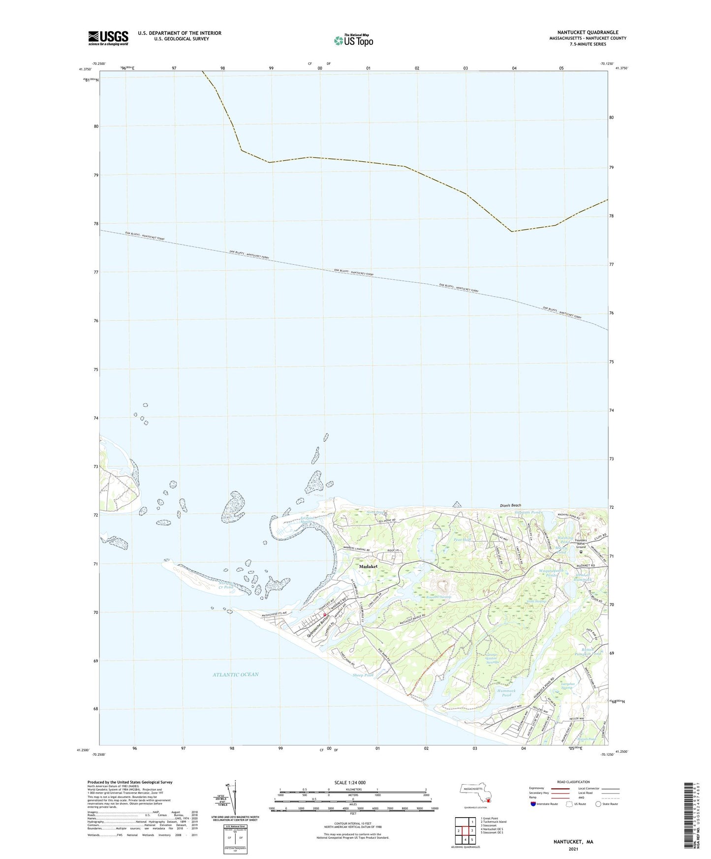
2024 topographic map quadrangle Nantucket in the state of Massachusetts. Scale: 1:24000. Based on the newly updated USGS 7.5' US Topo map series, this map is in the following counties: Nantucket. The map contains contour data, water features, and other items you are used to seeing on USGS maps, but also has updated roads and other features. This is the next generation of topographic maps. Printed on high-quality waterproof paper with UV fade-resistant inks.
Quads adjacent to this one:
West: Tuckernuck Island
Northeast: Great Point
East: Siasconset
Southeast: Siasconset OE S
South: Nantucket OE S
This map covers the same area as the classic USGS quad with code o41070b1.
Contains the following named places: Broad Creek, Capaum Pond, Cisco, Cisco Beach, Clark Cove, Dionis Beach, East Pond, Eel Point, Eel Point Marsh, Esther Island, Fishers Landing, Founders Burial Ground, Further Creek, George Easton Swamps, Great Neck, Head of Hummock, Head of Plains, Hither Creek, Hummock Pond, Jackson Point, Jeremy Cove, Johns Point, Larrabee Swamp, Little Neck, Little Ram Pasture Point, Long Hill, Long Pond, Madaket, Madaket Census Designated Place, Madaket Ditch, Madaket Harbor, Maddequet, Maxcy Pond, Mioxes Pond, MSPCA Hospital, Nanahumas Neck, Nantucket Conservation Foundation, Nantucket County, Nantucket Sound, Narrow Creek, Narrow Creek Pond, North Head Long Pond, North Point, North Pond, Peat Hole, Quampache Bottom, Ram Pasture, Reedy Pond, Rotten Pumpkin Pond, Round O Swamp, Shallow Pond, Sheep Pond, Smith Point, Smiths Point, Swain Hill, The Bathtub, The Gut, The Narrows, The Plains, The Woods, Trots Hills, Trots Swamp, Tuckernuck Airport, Tuckernuck Island South East Light, Waine Heliport, Waqutuquaib Ponds, Warren Landing, Washing Pond, White Goose Cove, WNTX-FM (Nantucket)