MyTopo
Scotts Lake Michigan US Topo Map
Couldn't load pickup availability
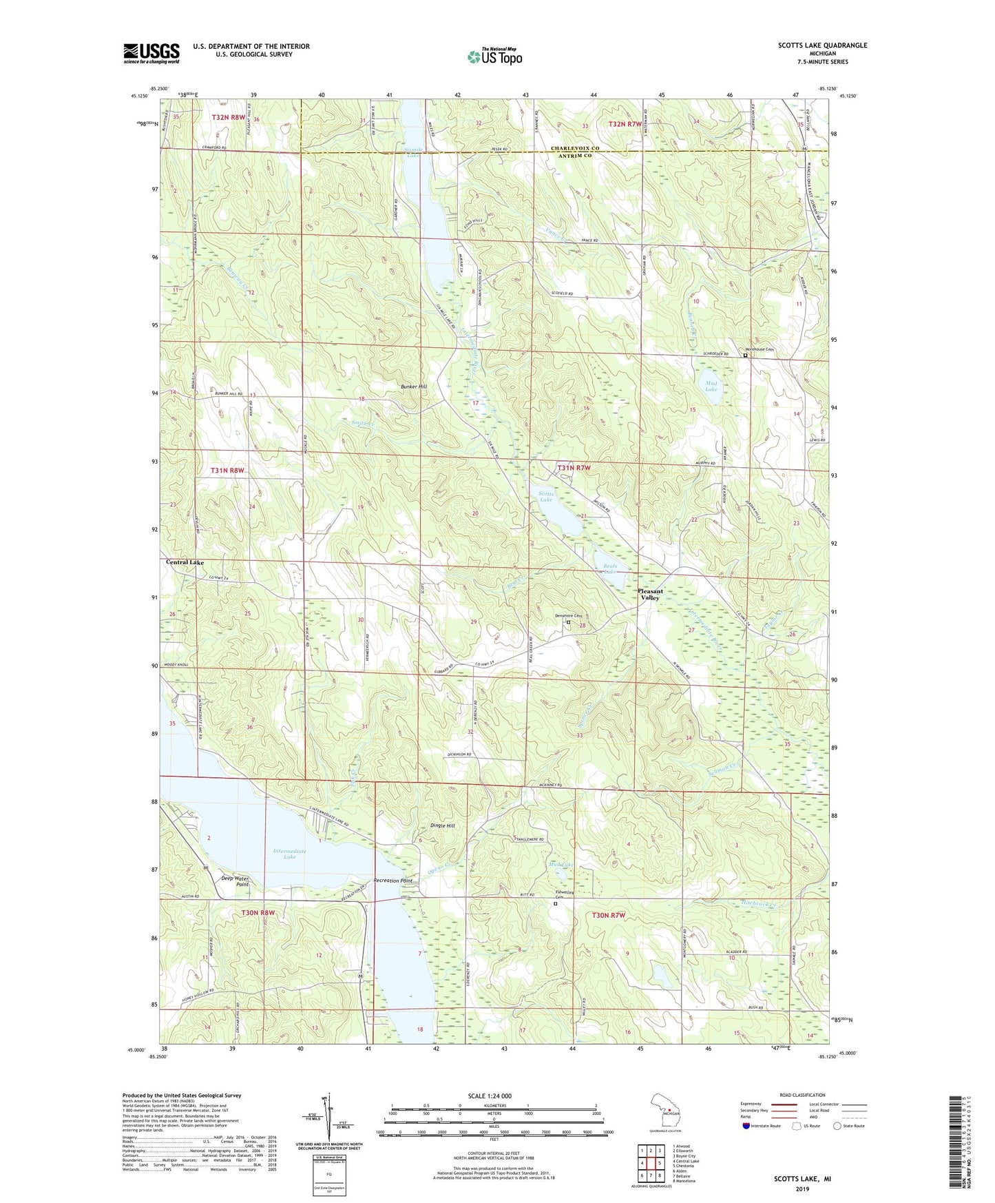
2023 topographic map quadrangle Scotts Lake in the state of Michigan. Scale: 1:24000. Based on the newly updated USGS 7.5' US Topo map series, this map is in the following counties: Antrim, Charlevoix. The map contains contour data, water features, and other items you are used to seeing on USGS maps, but also has updated roads and other features. This is the next generation of topographic maps. Printed on high-quality waterproof paper with UV fade-resistant inks.
Quads adjacent to this one:
West: Central Lake
Northwest: Atwood
North: Ellsworth
Northeast: Boyne City
East: Chestonia
Southeast: Mancelona
South: Bellaire
Southwest: Alden
This map covers the same area as the classic USGS quad with code o45085a2.
Contains the following named places: Antrim County, Beal Creek, Beals Lake, Benway Creek, Bunker Hill, Chain O Lakes Presbyterian Church, Congregational Church, Deep Water Point, Densmore Cemetery, Dingle Hill, Dingman River, Echo Park, Echo Post Office, Fisk Creek, Flewelling Cemetery, Intermediate Lake, Mohrmann Park, Morehouse Cemetery, Mud Lake, Openo Creek, Pleasant Valley, Pleasant Valley Camp, Pleasant Valley Free Methodist Church, Recreation Point, Scotts Lake, Seamon Creek, Sixmile Lake, Smith Creek, Snowflake, Snowflake Camp, Snowflake Post Office, Snowflake Station, Spence Creek, Taylor Creek, Township of Echo, Vance Chapel, Vance Creek, Zig Landing Strip