MyTopo
Au Gres OE S Michigan US Topo Map
Regular price
$16.95
Regular price
Sale price
$16.95
Unit price
per
Couldn't load pickup availability
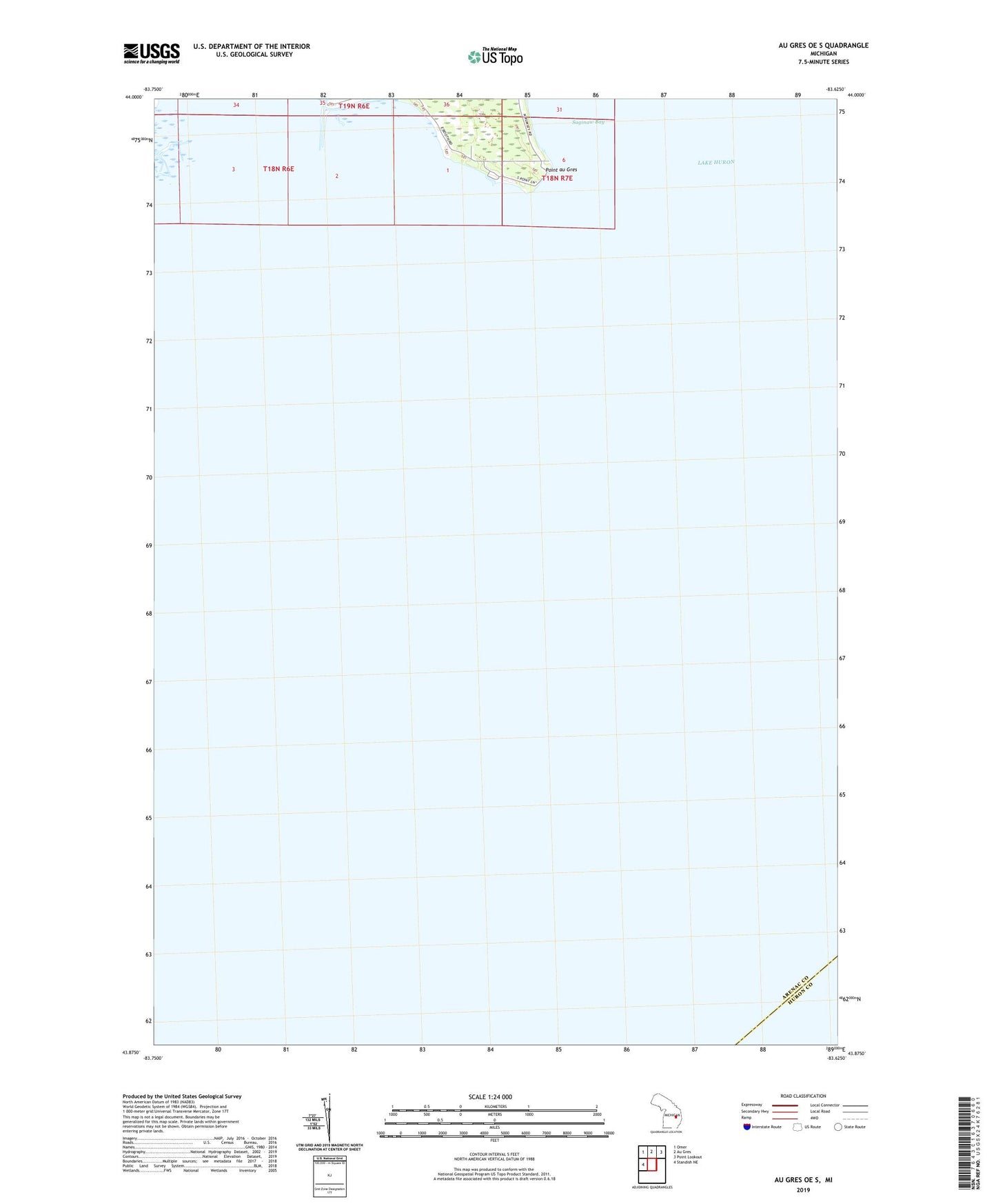
2023 topographic map quadrangle Au Gres OE S in the state of Michigan. Scale: 1:24000. Based on the newly updated USGS 7.5' US Topo map series, this map is in the following counties: Arenac, Huron. The map contains contour data, water features, and other items you are used to seeing on USGS maps, but also has updated roads and other features. This is the next generation of topographic maps. Printed on high-quality waterproof paper with UV fade-resistant inks.
Quads adjacent to this one:
West: Standish NE
Northwest: Omer
North: Au Gres
Northeast: Point Lookout
This map covers the same area as the classic USGS quad with code o43083h6.
Contains the following named places: Point au Gres