MyTopo
Au Sable Point SE Michigan US Topo Map
Couldn't load pickup availability
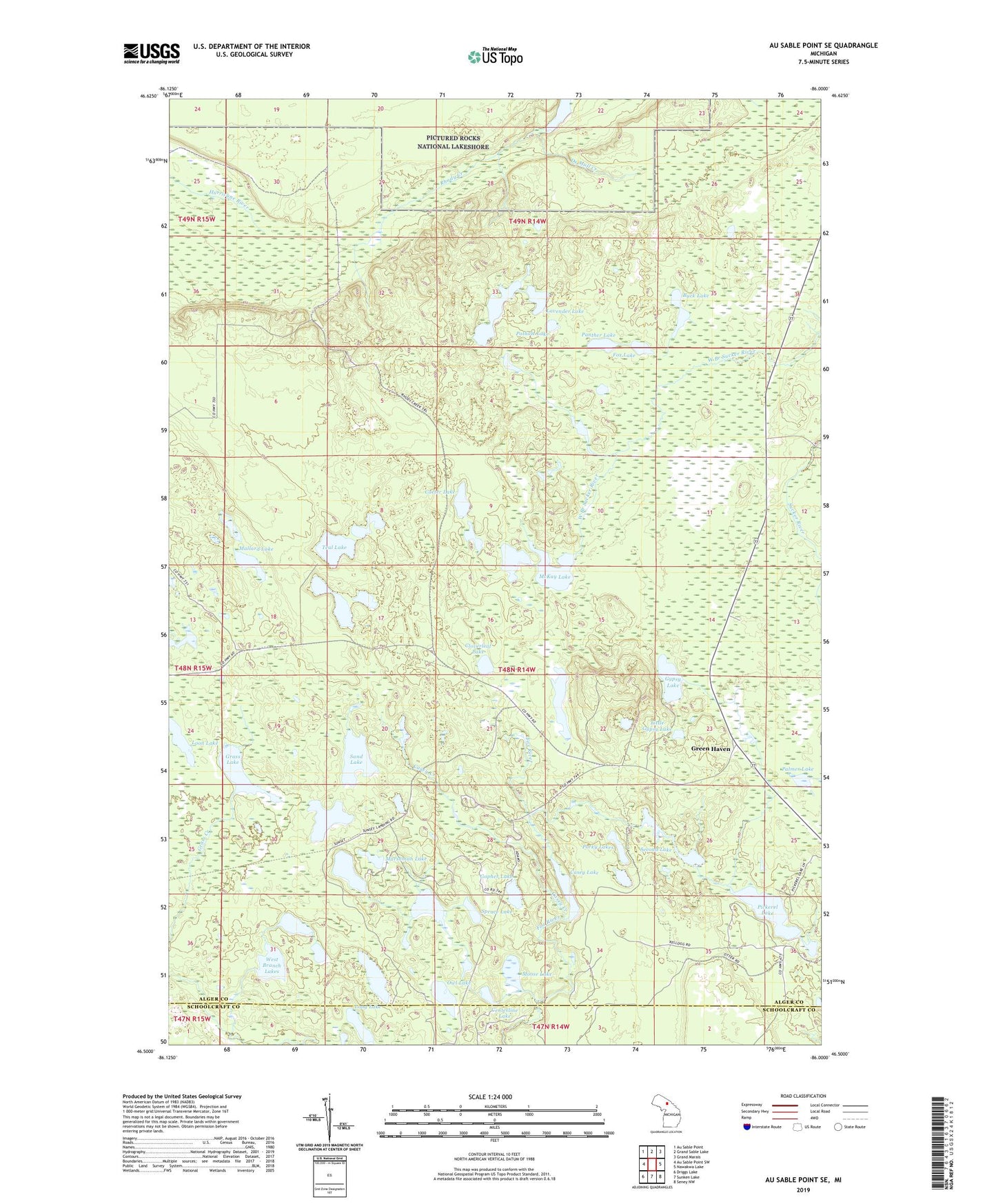
2023 topographic map quadrangle Au Sable Point SE in the state of Michigan. Scale: 1:24000. Based on the newly updated USGS 7.5' US Topo map series, this map is in the following counties: Alger, Schoolcraft. The map contains contour data, water features, and other items you are used to seeing on USGS maps, but also has updated roads and other features. This is the next generation of topographic maps. Printed on high-quality waterproof paper with UV fade-resistant inks.
Quads adjacent to this one:
West: Au Sable Point SW
Northwest: Au Sable Point
North: Grand Sable Lake
Northeast: Grand Marais
East: Nawakwa Lake
Southeast: Seney NW
South: Sunken Lake
Southwest: Driggs Lake
This map covers the same area as the classic USGS quad with code o46086e1.
Contains the following named places: Bearfoot Lake, Buck Lake, Carter Lake, Casey Creek, Casey Lake, Centerline Lake, Claypit Lake, Cloverleaf Lake, De Mull Creek, Deadman Lake, Deerfoot Lake, Fox Lake, Gopher Lake, Grass Lake, Green Haven, Gypsy Lake, Gypsy Lake Lookout Tower, Hemlock Lake, Lake Nita, Lambert Lake, Lavender Lake, Little Gypsy Lake, Long Lake, Loon Lake, Mallard Lake, Marshman Lake, McKay Lake, Moccasin Lake, Moose Lake, Owl Lake, Palmer Lake, Panther Lake, Pickerel Lake, Porky Lakes, Pothole Lake, Rhody Creek, Sand Lake, Second Lake, Spruce Lake, Sunrise Landing, Teal Lake, Township of Burt, Triangle Lake, West Branch Lakes, ZIP Code: 49839