MyTopo
Bear Lake Michigan US Topo Map
Couldn't load pickup availability
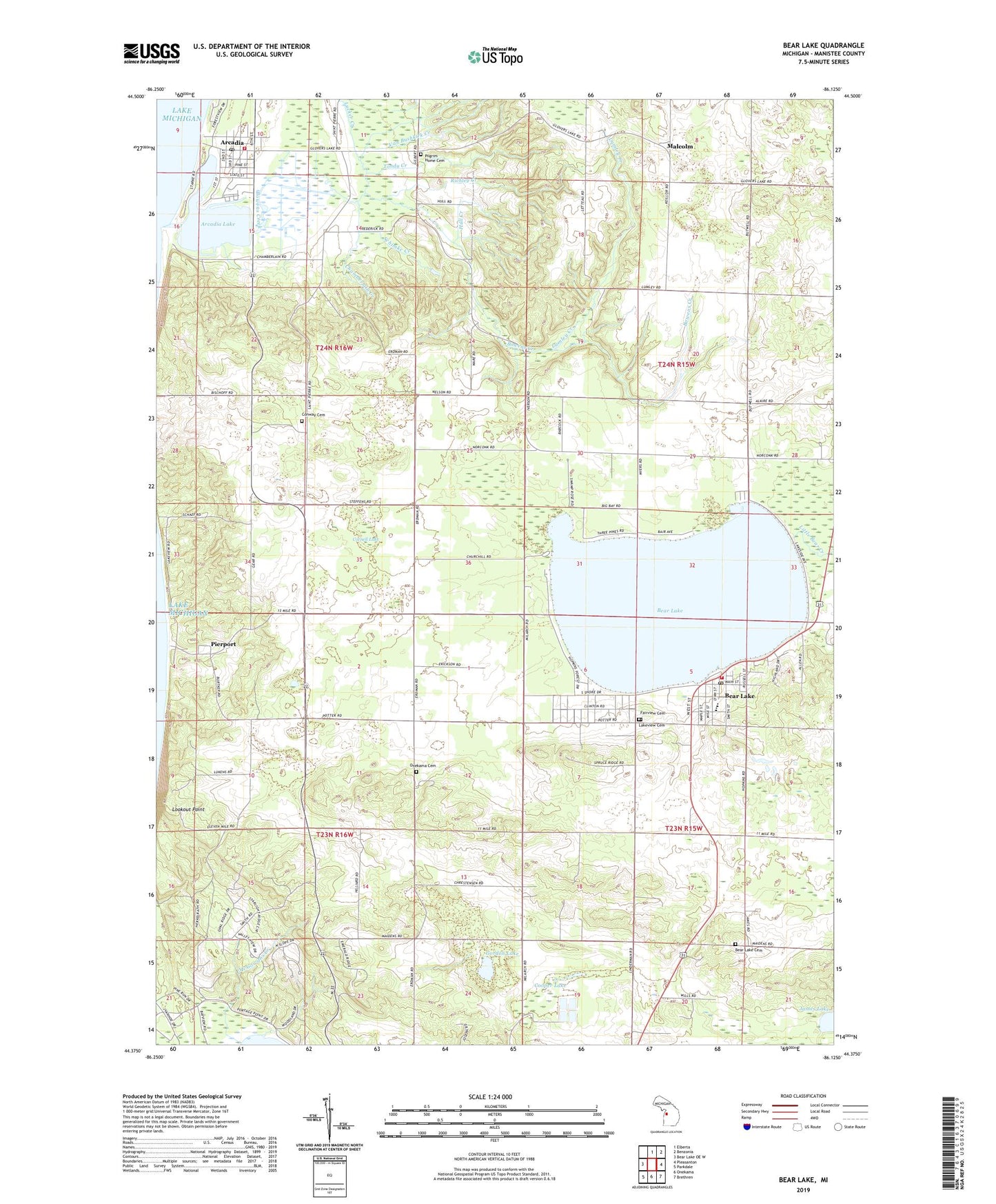
2023 topographic map quadrangle Bear Lake in the state of Michigan. Scale: 1:24000. Based on the newly updated USGS 7.5' US Topo map series, this map is in the following counties: Manistee. The map contains contour data, water features, and other items you are used to seeing on USGS maps, but also has updated roads and other features. This is the next generation of topographic maps. Printed on high-quality waterproof paper with UV fade-resistant inks.
Quads adjacent to this one:
West: Bear Lake OE W
North: Elberta
Northeast: Benzonia
East: Pleasanton
Southeast: Brethren
South: Onekama
Southwest: Parkdale
This map covers the same area as the classic USGS quad with code o44086d2.
Contains the following named places: Arcadia, Arcadia Bluffs Golf Club, Arcadia Census Designated Place, Arcadia Elementary School, Arcadia Lake, Arcadia Library, Arcadia Marina Campground, Arcadia Post Office, Arcadia Station, Arcadia Township Volunteer Fire Department, Arcadia Veterans Memorial, Bear Lake, Bear Lake Library of Manistee, Bear Lake Methodist Church, Bear Lake Post Office, Bear Lake School, Bear Lake Township Cemetery, Bear Lake Township Fire Department, Bear Lake Township Hall, Bowens Creek, Chamberlain Creek, Chestnut Hills Golf Course, Church of Jesus Christ of Latter Day Saints, Conway Cemetery, Cooper Lake, Cornell Lake, Country Highlands Golf Course, Crystal Lake Clinic, Danish Church, Fairview Cemetery South Annex, Gordon Lake, Grebe Park, Harriet Quimby Childhood Home Historical Marker, Harriet Quimby Historical Marker, Hopkins Park, Hopkins Park Campground, Hull Creek, James Lake, Krouse Lake, Lakeview Cemetery, Lookout Point, Lucker Creek, Lumley Creek, Malcolm, Malcolm Post Office, Malcolm Station, McGowans Creek, Myers School, Pickard Park, Pierport, Pierport Post Office, Pilgrim Home Cemetery, Richley Creek, Schimke Creek, Tondu Creek, Toohey Creek, Township of Arcadia, Township of Onekama, Trinity Lutheran Church, Trinity Lutheran Church Historical Marker, Van Bushkirk Creek, Village of Bear Lake, Ware Creek, ZIP Code: 49675


