MyTopo
Beechwood Michigan US Topo Map
Couldn't load pickup availability
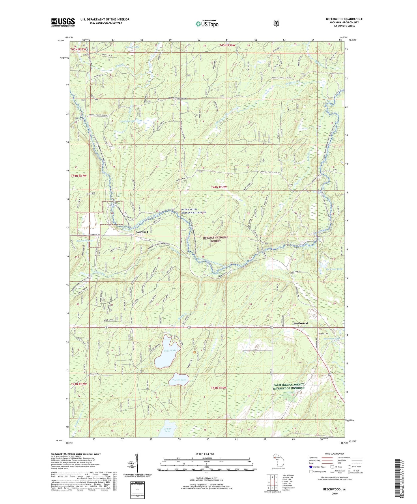
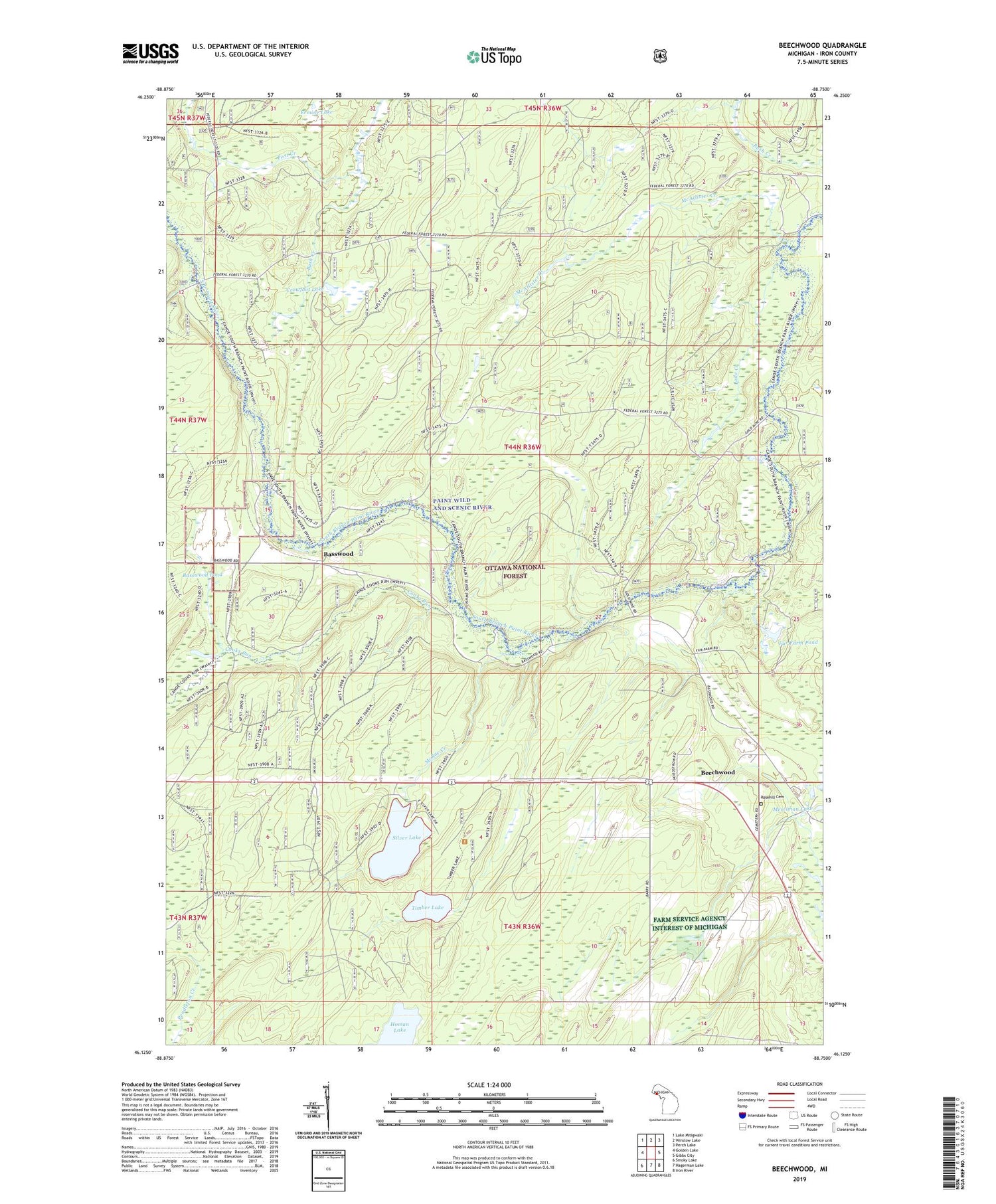
2019 topographic map quadrangle Beechwood in the state of Michigan. Scale: 1:24000. Based on the newly updated USGS 7.5' US Topo map series, this map is in the following counties: Iron. The map contains contour data, water features, and other items you are used to seeing on USGS maps, but also has updated roads and other features. This is the next generation of topographic maps. Printed on high-quality waterproof paper with UV fade-resistant inks.
Quads adjacent to this one:
West: Golden Lake
Northwest: Lake Mitigwaki
North: Winslow Lake
Northeast: Perch Lake
East: Gibbs City
Southeast: Iron River
South: Hagerman Lake
Southwest: Smoky Lake
Contains the following named places: Basswood, Basswood Pond, Basswood Station, Beechwood, Beechwood Church, Beechwood Post Office, Beechwood Station, Bethany Church, Branch Line Lake, Cooks Run, Crowfoot Lake, Ermine Lake, Fur Farm Pond, Lode Creek, McAllister Creek, McRae Creek, Paint Wild and Scenic River, Post Creek, Rosehill Cemetery, Silver Lake, Timber Lake, Township of Iron River, ZIP Code: 49935