MyTopo
Big Ravine Creek Michigan US Topo Map
Couldn't load pickup availability
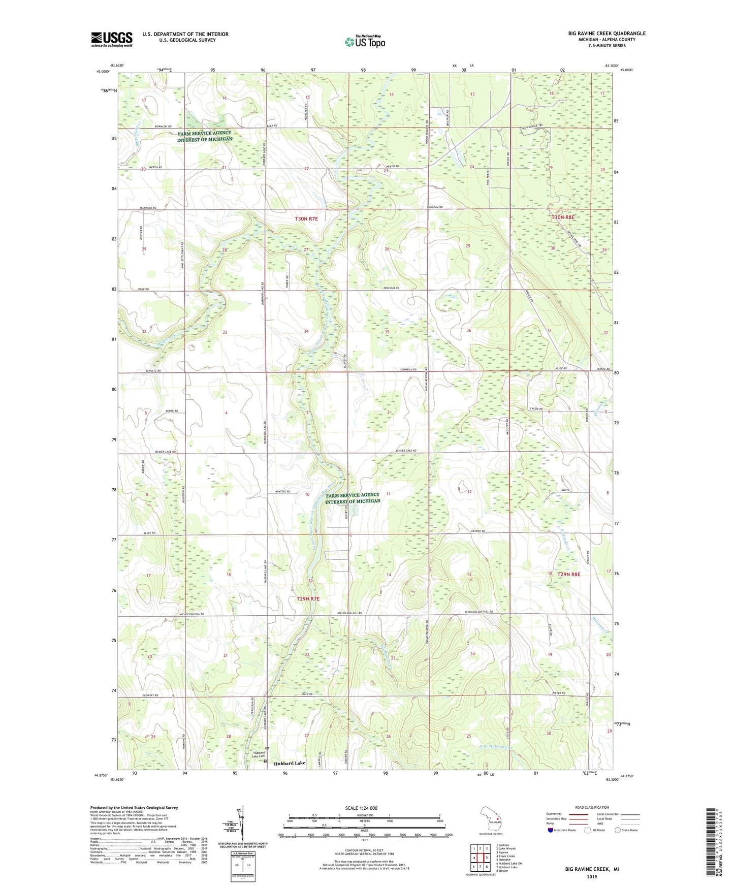
2019 topographic map quadrangle Big Ravine Creek in the state of Michigan. Scale: 1:24000. Based on the newly updated USGS 7.5' US Topo map series, this map is in the following counties: Alpena. The map contains contour data, water features, and other items you are used to seeing on USGS maps, but also has updated roads and other features. This is the next generation of topographic maps. Printed on high-quality waterproof paper with UV fade-resistant inks.
Quads adjacent to this one:
West: Evans Creek
Northwest: Lachine
North: Lake Winyah
Northeast: Alpena
East: Ossineke
Southeast: Spruce
South: Hubbard Lake
Southwest: Hubbard Lake SW
Contains the following named places: Alpena Country Club, Big Ravine Creek, Community Church, Hope Lutheran Church, Hubbard Lake Baptist Church, Hubbard Lake Cemetery, Ineke Township School, Thunder Bay Baptist Church, Trinity Church, Under His Wing's Christian Church, Wolf Creek