MyTopo
Bigsbie Lake Michigan US Topo Map
Couldn't load pickup availability
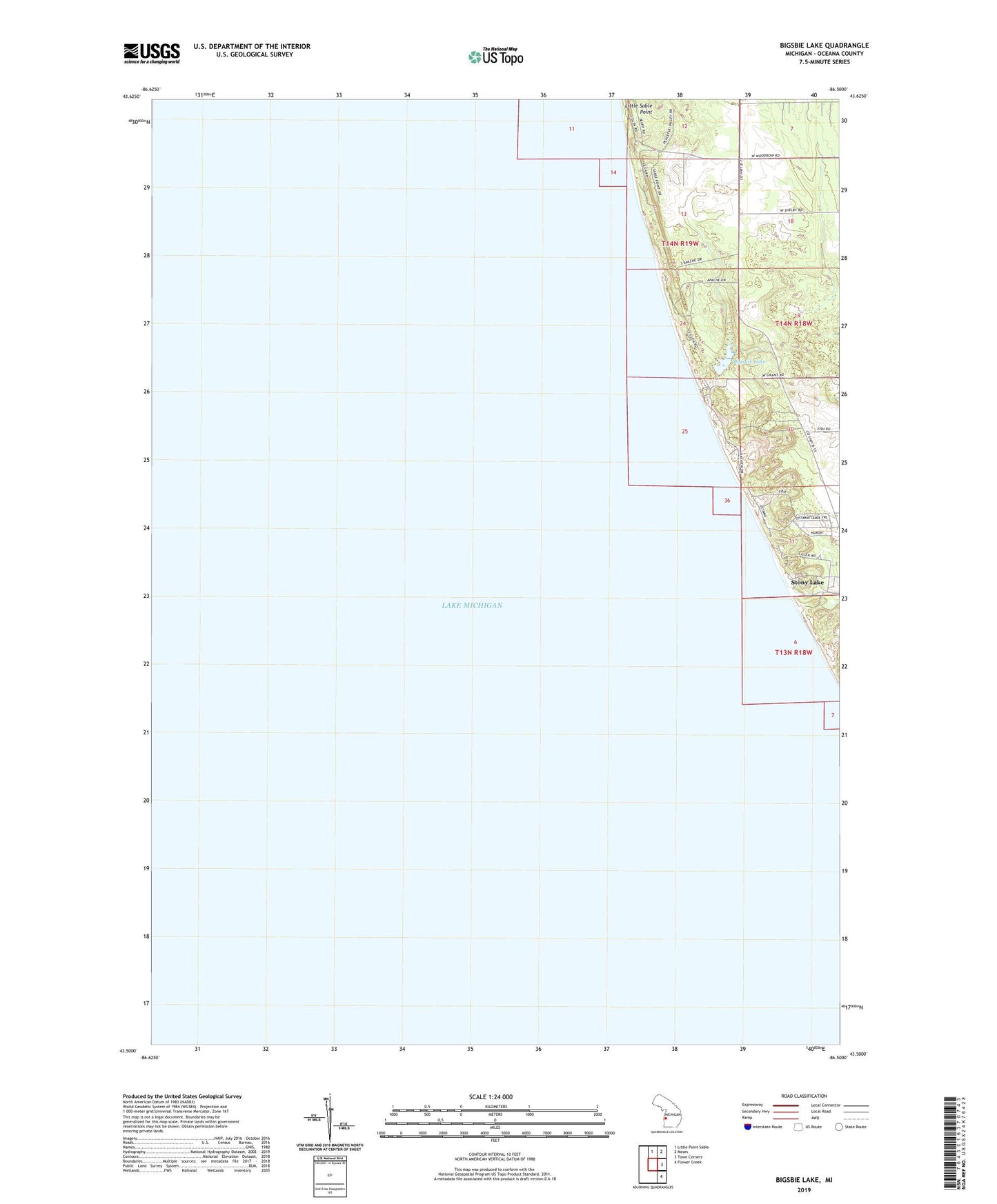
2023 topographic map quadrangle Bigsbie Lake in the state of Michigan. Scale: 1:24000. Based on the newly updated USGS 7.5' US Topo map series, this map is in the following counties: Oceana. The map contains contour data, water features, and other items you are used to seeing on USGS maps, but also has updated roads and other features. This is the next generation of topographic maps. Printed on high-quality waterproof paper with UV fade-resistant inks.
Quads adjacent to this one:
North: Little Point Sable
Northeast: Mears
East: Town Corners
Southeast: Flower Creek
This map covers the same area as the classic USGS quad with code o43086e5.
Contains the following named places: Benona Shores Golf Course, Bigsbie Lake, Stony Creek, Stony Lake, Stony Lake Post Office