MyTopo
Estral Beach Michigan US Topo Map
Couldn't load pickup availability
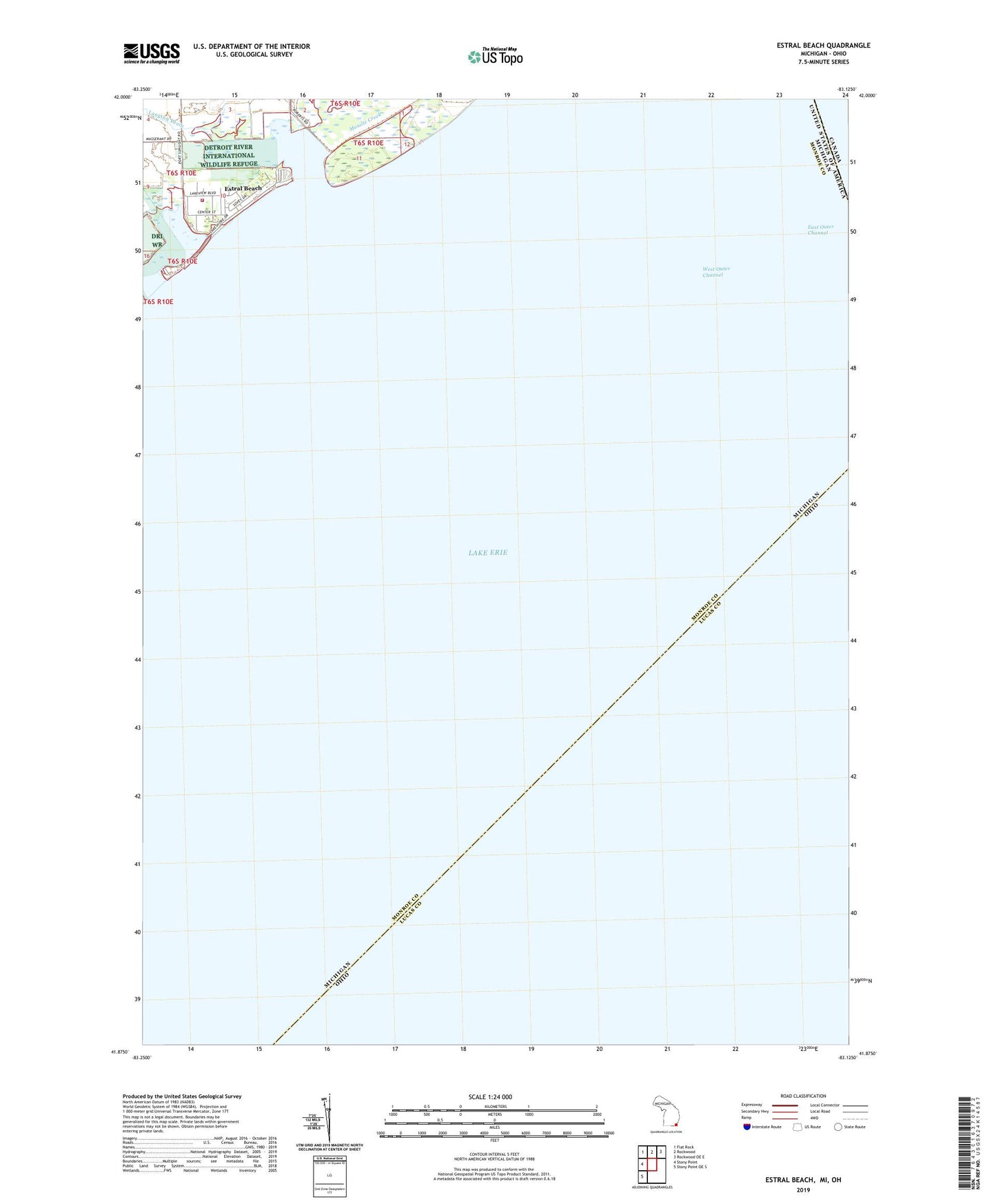
2023 topographic map quadrangle Estral Beach in the state of Michigan. Scale: 1:24000. Based on the newly updated USGS 7.5' US Topo map series, this map is in the following counties: Monroe, Lucas. The map contains contour data, water features, and other items you are used to seeing on USGS maps, but also has updated roads and other features. This is the next generation of topographic maps. Printed on high-quality waterproof paper with UV fade-resistant inks.
Quads adjacent to this one:
West: Stony Point
Northwest: Flat Rock
North: Rockwood
Northeast: Rockwood OE E
Southwest: Stony Point OE S
This map covers the same area as the classic USGS quad with code o41083h2.
Contains the following named places: East Outer Channel, Estral Beach, Estral Beach Fire Department, Estral Beach Village Hall, Langton Drain, Swan Creek, Village of Estral Beach, West Outer Channel