MyTopo
Gimlet Creek Michigan US Topo Map
Couldn't load pickup availability
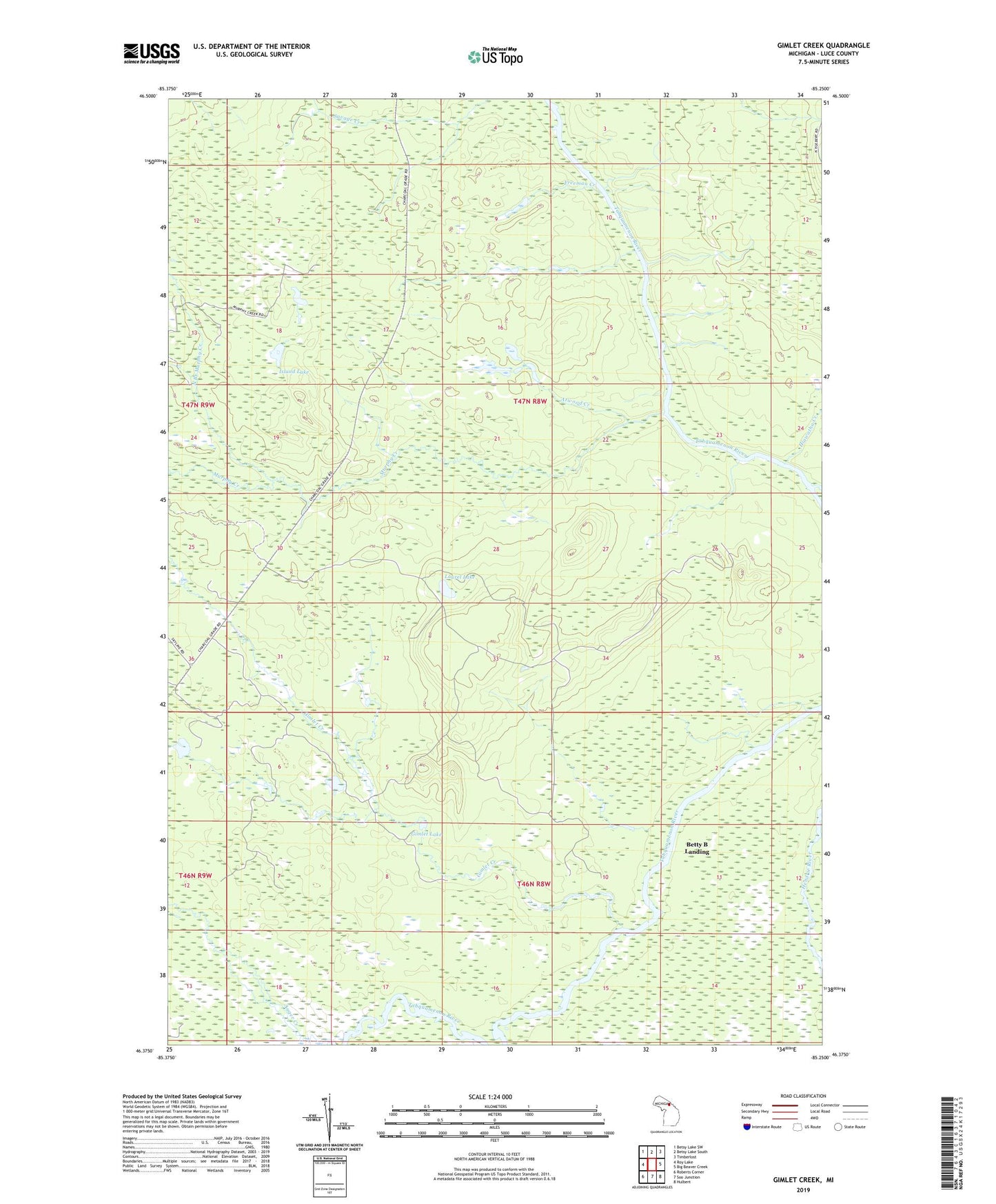
2019 topographic map quadrangle Gimlet Creek in the state of Michigan. Scale: 1:24000. Based on the newly updated USGS 7.5' US Topo map series, this map is in the following counties: Luce. The map contains contour data, water features, and other items you are used to seeing on USGS maps, but also has updated roads and other features. This is the next generation of topographic maps. Printed on high-quality waterproof paper with UV fade-resistant inks.
Quads adjacent to this one:
West: Roy Lake
Northwest: Betsy Lake SW
North: Betsy Lake South
Northeast: Timberlost
East: Big Beaver Creek
Southeast: Hulbert
South: Soo Junction
Southwest: Roberts Corner
Contains the following named places: Atwood Creek, Auger Creek, Betty B Landing, East Branch Tahquamenon River, Freeman Creek, Gimlet Creek, Gimlet Lake, Hiawatha Creek, Island Lake, Laurel Lake, Murphy Creek, North Branch Murphy Creek