MyTopo
Soo Junction Michigan US Topo Map
Couldn't load pickup availability
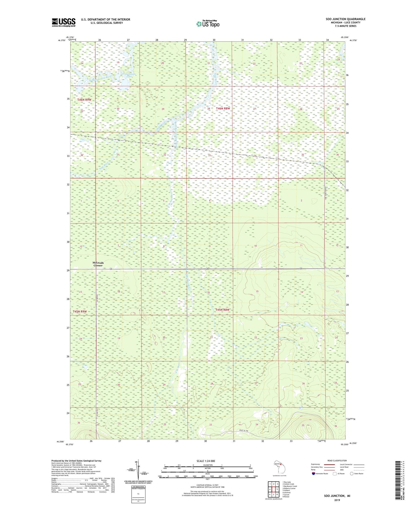
2023 topographic map quadrangle Soo Junction in the state of Michigan. Scale: 1:24000. Based on the newly updated USGS 7.5' US Topo map series, this map is in the following counties: Luce. The map contains contour data, water features, and other items you are used to seeing on USGS maps, but also has updated roads and other features. This is the next generation of topographic maps. Printed on high-quality waterproof paper with UV fade-resistant inks.
Quads adjacent to this one:
West: Roberts Corner
Northwest: Roy Lake
North: Gimlet Creek
Northeast: Big Beaver Creek
East: Hulbert
Southeast: Rexton
South: Garnet
Southwest: Gilchrist
This map covers the same area as the classic USGS quad with code o46085c3.
Contains the following named places: East Branch Sage River, Frenchmans Lake, McLeods Corner, Sage River, Soo Junction, Soo Junction Post Office, Soo Junction Station