MyTopo
Roberts Corner Michigan US Topo Map
Couldn't load pickup availability
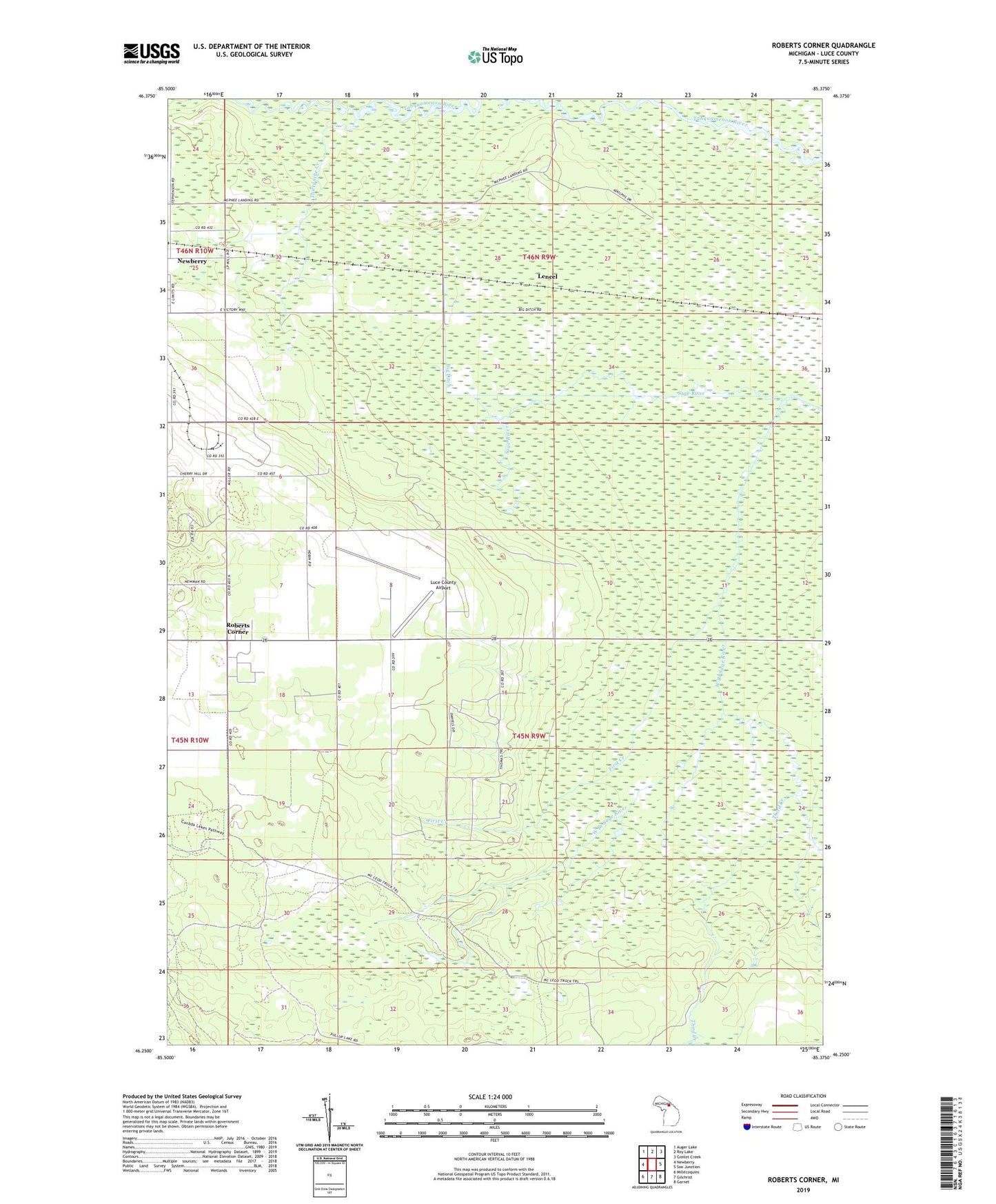
2023 topographic map quadrangle Roberts Corner in the state of Michigan. Scale: 1:24000. Based on the newly updated USGS 7.5' US Topo map series, this map is in the following counties: Luce. The map contains contour data, water features, and other items you are used to seeing on USGS maps, but also has updated roads and other features. This is the next generation of topographic maps. Printed on high-quality waterproof paper with UV fade-resistant inks.
Quads adjacent to this one:
West: Newberry
Northwest: Auger Lake
North: Roy Lake
Northeast: Gimlet Creek
East: Soo Junction
Southeast: Garnet
South: Gilchrist
Southwest: Millecoquins
This map covers the same area as the classic USGS quad with code o46085c4.
Contains the following named places: Big Ditch, First Creek, Great Northern Trailer Court, Lencel, Lencel Station, Living Water Assembly of God Church, Luce County Airport, McPhees Landing, Roberts Corner, Sault Tribe Community Health Center, Third Creek, Third Creek Pond, Thirtynine Creek, Township of Pentland, West Branch Sage River