MyTopo
Greenwood Michigan US Topo Map
Couldn't load pickup availability
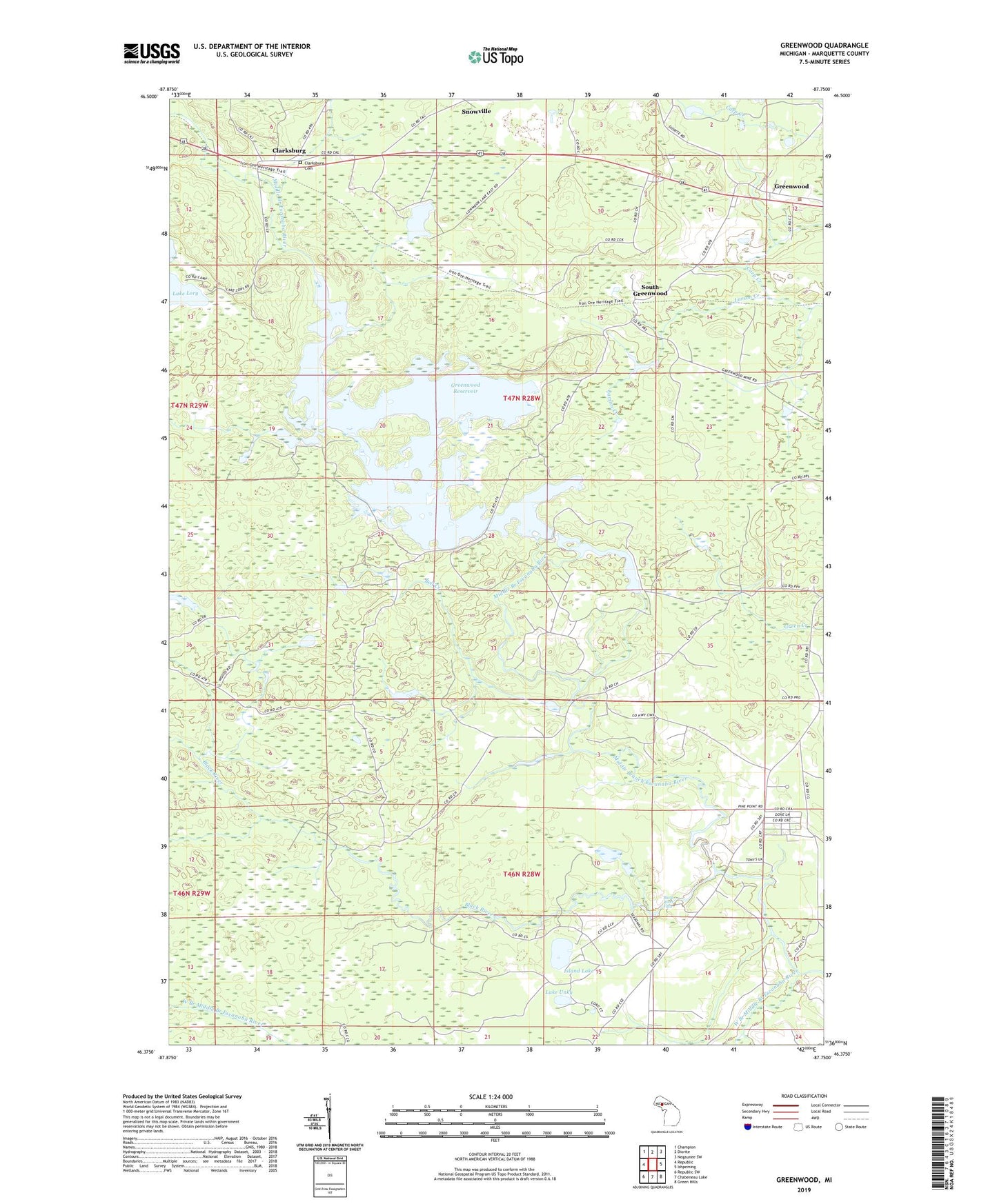
2023 topographic map quadrangle Greenwood in the state of Michigan. Scale: 1:24000. Based on the newly updated USGS 7.5' US Topo map series, this map is in the following counties: Marquette. The map contains contour data, water features, and other items you are used to seeing on USGS maps, but also has updated roads and other features. This is the next generation of topographic maps. Printed on high-quality waterproof paper with UV fade-resistant inks.
Quads adjacent to this one:
West: Republic
Northwest: Champion
North: Diorite
Northeast: Negaunee SW
East: Ishpeming
Southeast: Green Hills
South: Chabeneau Lake
Southwest: Republic SW
This map covers the same area as the classic USGS quad with code o46087d7.
Contains the following named places: Bell Creek, Black River, Black River Falls, Clarksburg, Clarksburg Cemetery, Clarksburg Post Office, Clarksburg Station, Greenwood, Greenwood Reservoir, Greenwood Station, Island Lake, Lake Unky, Larson Creek, Lowmoor Lake, Snowville, South Greenwood, Township of Ely, Wawonowin Golf Course, West Branch Middle Branch Escanaba River, ZIP Code: 49849