MyTopo
Hardwood Lake Michigan US Topo Map
Couldn't load pickup availability
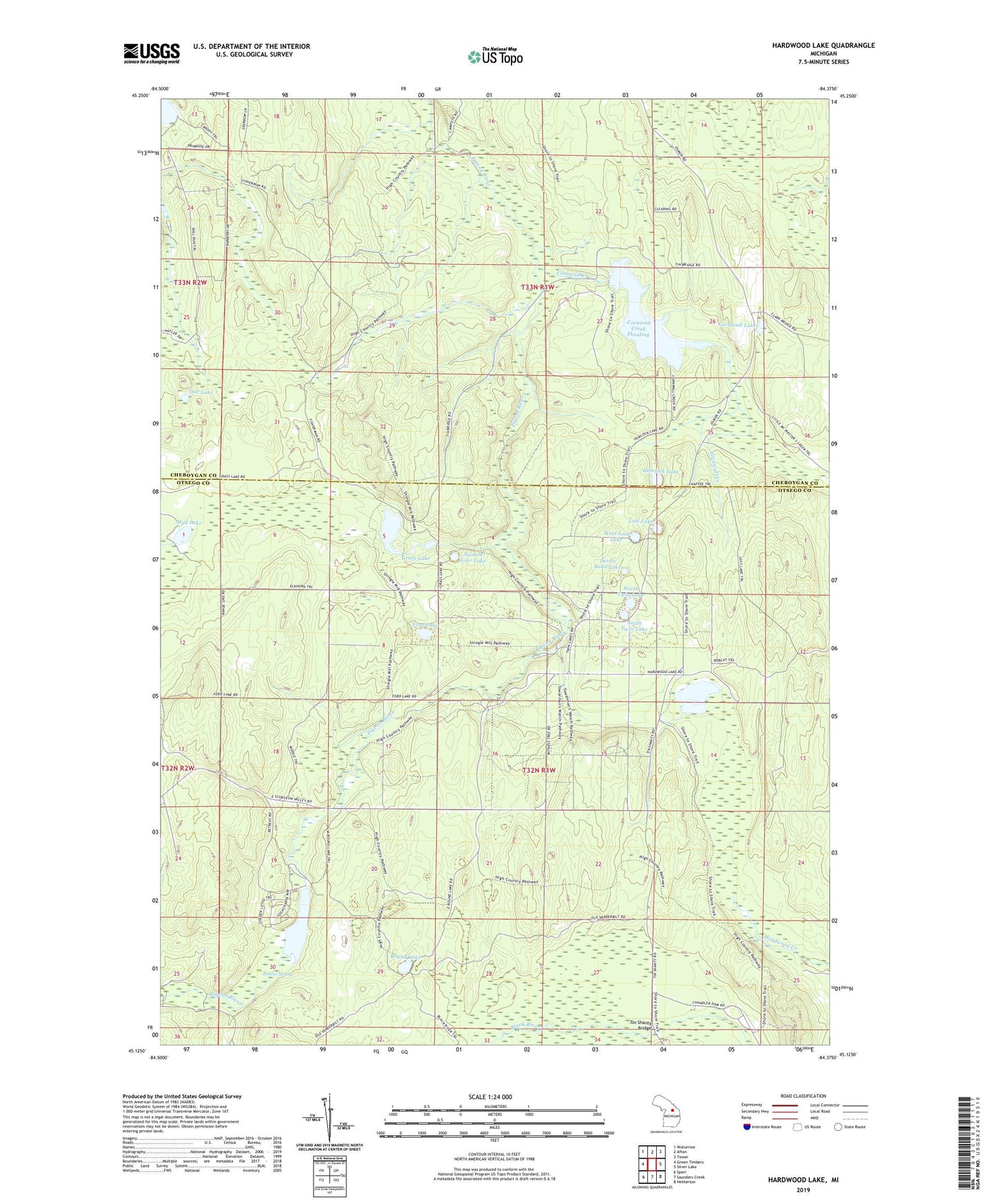
2019 topographic map quadrangle Hardwood Lake in the state of Michigan. Scale: 1:24000. Based on the newly updated USGS 7.5' US Topo map series, this map is in the following counties: Otsego, Cheboygan. The map contains contour data, water features, and other items you are used to seeing on USGS maps, but also has updated roads and other features. This is the next generation of topographic maps. Printed on high-quality waterproof paper with UV fade-resistant inks.
Quads adjacent to this one:
West: Green Timbers
Northwest: Wolverine
North: Afton
Northeast: Tower
East: Silver Lake
Southeast: Hetherton
South: Saunders Creek
Southwest: Sparr
Contains the following named places: Beaver Dam Club, Beaver Marsh, Cornwall Creek, Cornwall Creek Flooding, Cornwall Lake, Cornwell Post Office, Devils Bowl Lake, Doe Lake, Elk Hill Equestrian State Forest Campground, Ford Lake, Grass Lake, Hackett Lake, Hardwood Lake, Hemlock Lake, Lansing Club, Lansing Club Pond, Lost Lake, Mud Lake, North Twin Lake, Paul Bunyan Punch Bowl, Pigeon Bridge State Forest Campground, Pigeon River Lookout Tower, Pigeon River State Forest Campground, Pine Grove State Forest Campground, Round Lake, Round Lake State Forest Campground, Section Four Lake, South Twin Lake, Tin Shanty Bridge, Township of Nunda, West Lost Lake