MyTopo
Silver Lake Michigan US Topo Map
Couldn't load pickup availability
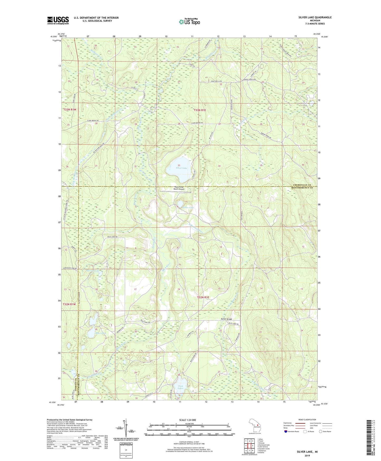
2023 topographic map quadrangle Silver Lake in the state of Michigan. Scale: 1:24000. Based on the newly updated USGS 7.5' US Topo map series, this map is in the following counties: Montmorency, Cheboygan, Otsego. The map contains contour data, water features, and other items you are used to seeing on USGS maps, but also has updated roads and other features. This is the next generation of topographic maps. Printed on high-quality waterproof paper with UV fade-resistant inks.
Quads adjacent to this one:
West: Hardwood Lake
Northwest: Afton
North: Tower
Northeast: Onaway
East: Lake Geneva
Southeast: Atlanta
South: Hetherton
Southwest: Saunders Creek
This map covers the same area as the classic USGS quad with code o45084b3.
Contains the following named places: Barber Bridge, Black River Ranch Airport, Black River Ranch Club, Blue Lakes, Dollar Lake, East Branch Black River, Foch Lakes, Hardwood Creek, Little McMasters Creek, McMasters Creek, Silver Lake, Stewart Creek, Stewart Lake