MyTopo
Kinde West Michigan US Topo Map
Couldn't load pickup availability
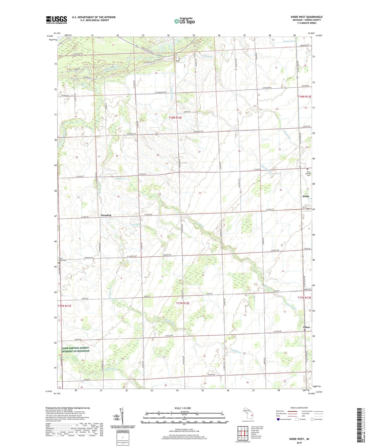
2019 topographic map quadrangle Kinde West in the state of Michigan. Scale: 1:24000. Based on the newly updated USGS 7.5' US Topo map series, this map is in the following counties: Huron. The map contains contour data, water features, and other items you are used to seeing on USGS maps, but also has updated roads and other features. This is the next generation of topographic maps. Printed on high-quality waterproof paper with UV fade-resistant inks.
Quads adjacent to this one:
West: Rush Lake
North: Port Austin West
Northeast: Port Austin East
East: Kinde East
Southeast: Bad Axe East
South: Bad Axe West
Southwest: Elkton
Contains the following named places: Arthur Drain, Bortman Creek, Case Drain, Casey Drain, Crown Post Office, Filion, Filion Post Office, Meade Township Hall, Moore Creek, North Huron Elementary School, North Huron High School, Pinnebog, Pinnebog Church, Pinnebog Post Office, Ruth Drain, Saint Edwards Cemetery, Saint Felix Cemetery, Saint Felix Church, Schram Branch, Schram Drain, Taft Drain, Todd Drain, Township of Hume, Township of Meade, WLEW-FM (Bad Axe)