MyTopo
Maybee Michigan US Topo Map
Couldn't load pickup availability
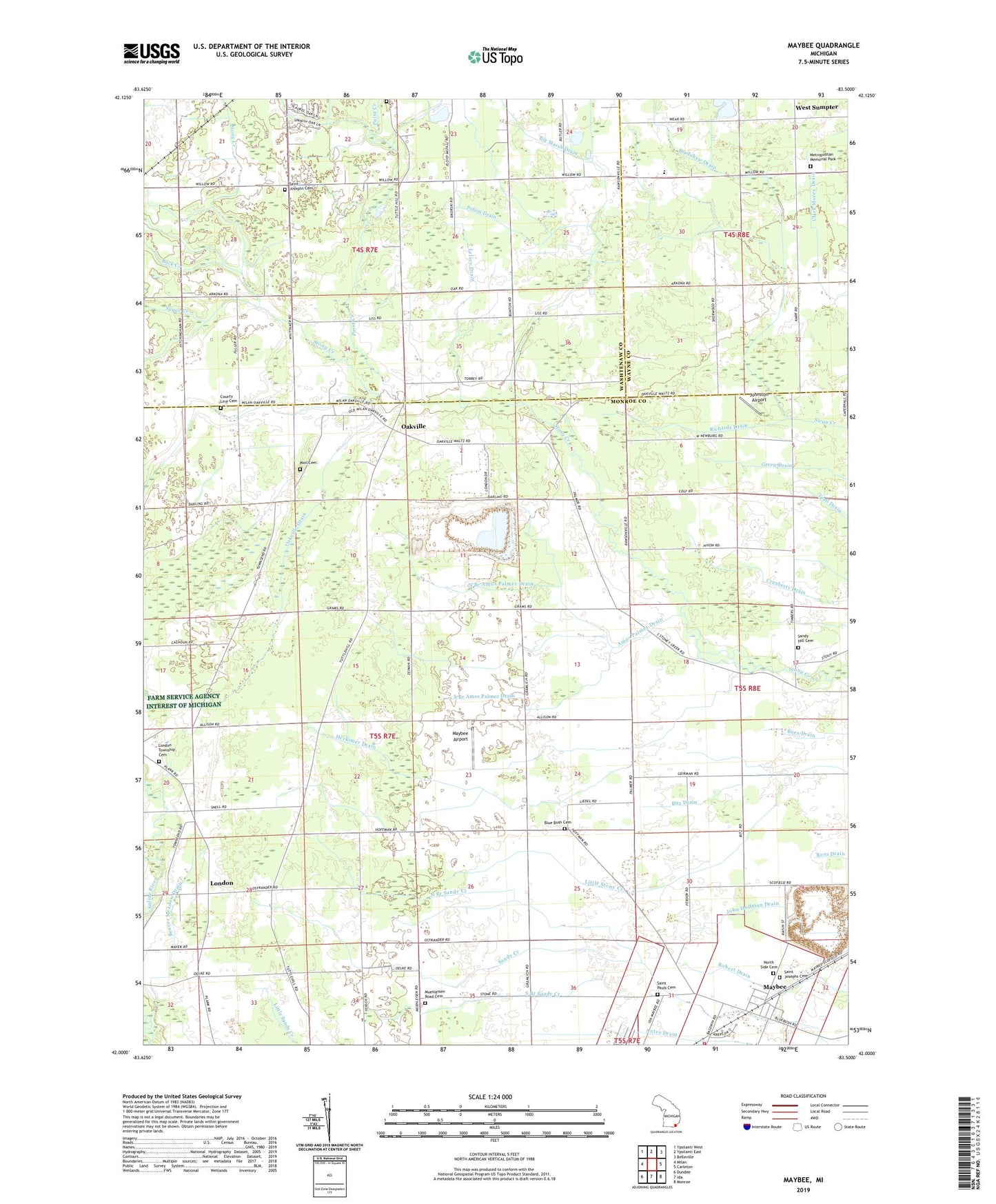
2023 topographic map quadrangle Maybee in the state of Michigan. Scale: 1:24000. Based on the newly updated USGS 7.5' US Topo map series, this map is in the following counties: Monroe, Washtenaw, Wayne. The map contains contour data, water features, and other items you are used to seeing on USGS maps, but also has updated roads and other features. This is the next generation of topographic maps. Printed on high-quality waterproof paper with UV fade-resistant inks.
Quads adjacent to this one:
West: Milan
Northwest: Ypsilanti West
North: Ypsilanti East
Northeast: Belleville
East: Carleton
Southeast: Monroe
South: Ida
Southwest: Dundee
This map covers the same area as the classic USGS quad with code o42083a5.
Contains the following named places: Amos Palmer Drain, Antes Drain, Bear Creek, Beaver Meadow Drain, Bethlehem Church, Big Marsh Drain, Bitz Drain, Blue Bush Cemetery, Bradshaw Drain, Brainard School, Buck Creek, Childs Cemetery, County Line Cemetery, Herkimer Drain, Hoffman Junior High School, Johnston Airport, Lamke Drain, Laszlo Airport, Lelsey Drain, London, London - Maybee - Raisinville Volunteer Fire Department, London Church, London Post Office, London Seventh Day Adventist Church, London Township Cemetery, Maybee, Maybee Airport, Maybee Post Office, Maybee Public Library, Maybee Quarry, Maybee Station, Metropolitan Memorial Park, Muehleisen Road Cemetery, Nelsonville Post Office, North Branch Amos Palmer Drain, North Branch Sandy Creek, North Side Cemetery, Oakville, Oakville Drain, Oakville Post Office, Paint Creek, Polzin Drain, Pool Townsend Cemetery, Richards Drain, Saint Joseph Cemetery, Saint Joseph Church, Saint Josephs Cemetery, Saint Paul Missionary Baptist Church, Saint Pauls Cemetery, Sandy Hill Cemetery, South Branch Amos Palmer Drain, South Branch Sandy Creek, Sugar Creek, Township of London, Village of Maybee, West Sumpter, West Sumpter Post Office, Weyher Farms, ZIP Codes: 48159, 48191


