MyTopo
Mohawk Michigan US Topo Map
Couldn't load pickup availability
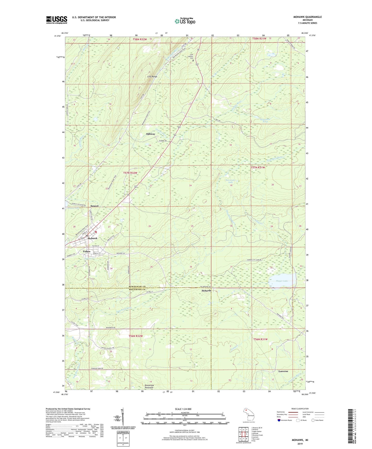
2023 topographic map quadrangle Mohawk in the state of Michigan. Scale: 1:24000. Based on the newly updated USGS 7.5' US Topo map series, this map is in the following counties: Keweenaw, Houghton. The map contains contour data, water features, and other items you are used to seeing on USGS maps, but also has updated roads and other features. This is the next generation of topographic maps. Printed on high-quality waterproof paper with UV fade-resistant inks.
Quads adjacent to this one:
West: Ahmeek
Northwest: Phoenix OE W
North: Phoenix
Northeast: Eagle Harbor
East: Bruneau Creek
Southeast: Gay
South: Rice Lake
Southwest: Laurium
This map covers the same area as the classic USGS quad with code o47088c3.
Contains the following named places: Allouez Township Fire Department, Allouez Township Hall, Bethany Lutheran Church, Camp Creek, Cliff Catholic Cemetery, Cliff Range, Deerwater Lake, Finns Creek, Fulton, Fulton Apostolic Lutheran Church, Fulton Census Designated Place, Fulton Station, Gratiot Mine, Hebard Post Office, Hebard Station, Hebards, Horizons Alternative High School, Horseshoe Pond, Keweenaw Peninsula, Mohawk, Mohawk Census Designated Place, Mohawk Post Office, Ojibway, Ojibway Post Office, Ojibway Station, Scales Creek, Seneca, Seneca Lake, Thayer Lake, Traverse, ZIP Codes: 49805, 49917