MyTopo
Ninemile Point Michigan US Topo Map
Couldn't load pickup availability
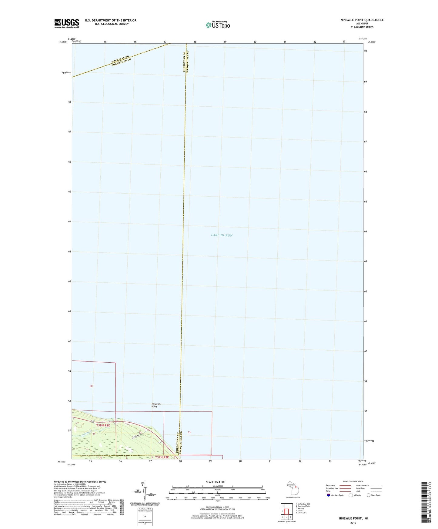
2023 topographic map quadrangle Ninemile Point in the state of Michigan. Scale: 1:24000. Based on the newly updated USGS 7.5' US Topo map series, this map is in the following counties: Presque Isle, Cheboygan, Mackinac. The map contains contour data, water features, and other items you are used to seeing on USGS maps, but also has updated roads and other features. This is the next generation of topographic maps. Printed on high-quality waterproof paper with UV fade-resistant inks.
Quads adjacent to this one:
West: Cordwood Point
Northwest: McRae Bay OE E
Southeast: Grace OE E
South: Grace
Southwest: Manning
This map covers the same area as the classic USGS quad with code o45084f2.
Contains the following named places: Greene Creek, Ninemile Point