MyTopo
Sault Ste. Marie South OE N Michigan US Topo Map
Couldn't load pickup availability
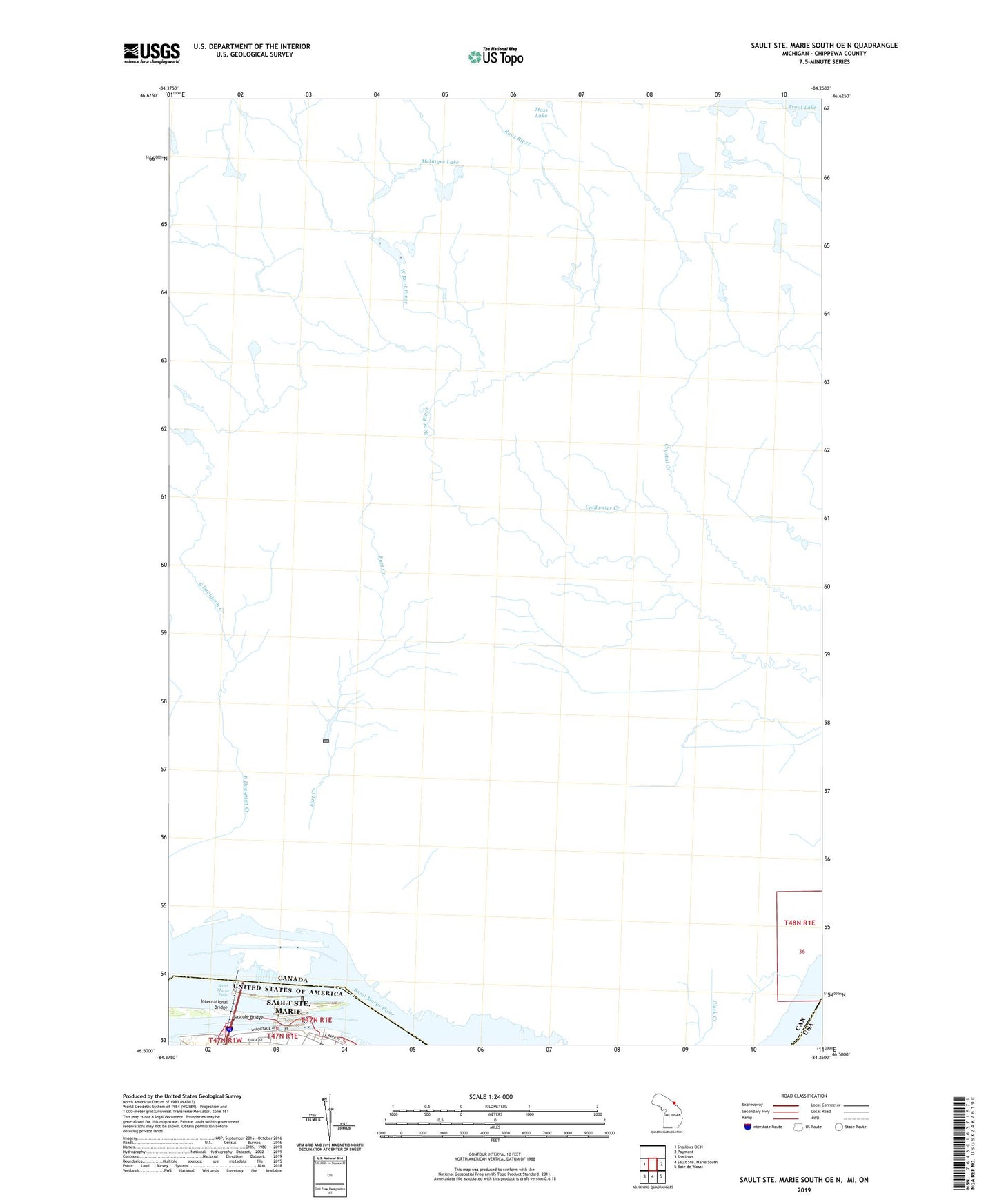
2023 topographic map quadrangle Sault Ste. Marie South OE N in the state of Michigan. Scale: 1:24000. Based on the newly updated USGS 7.5' US Topo map series, this map is in the following counties: Chippewa. The map contains contour data, water features, and other items you are used to seeing on USGS maps, but also has updated roads and other features. This is the next generation of topographic maps. Printed on high-quality waterproof paper with UV fade-resistant inks.
Quads adjacent to this one:
West: Shallows OE N
East: Payment
Southeast: Baie de Wasai
Southwest: Shallows
Contains the following named places: Bascule Bridge, Brady Park, Corps of Engineers Warehouse, Davis Lock, Fort Brady Historical Marker, International Bridge, Mac Arthur Lock, Mariners Library, North Canal, North East Pier, Poe Lock, Saint Marys Falls, Saint Marys Falls Canal, Sault Locks Park, Soo Lock Visitors Center, Soo Locks, South Canal, Southeast Pier Light, West Center Pier Light