MyTopo
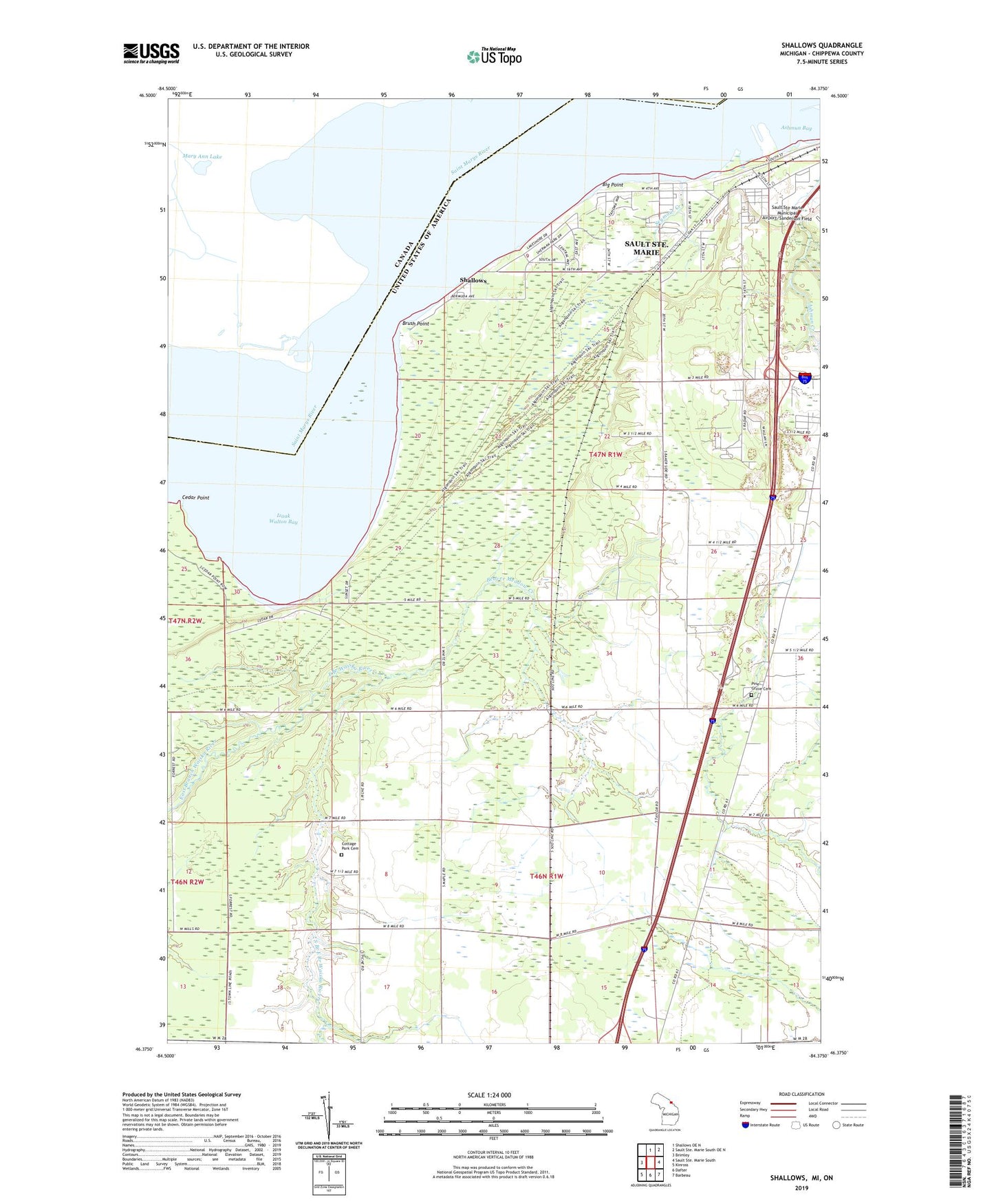
Shallows Michigan US Topo Map
Couldn't load pickup availability
2023 topographic map quadrangle Shallows in the state of Michigan. Scale: 1:24000. Based on the newly updated USGS 7.5' US Topo map series, this map is in the following counties: Chippewa. The map contains contour data, water features, and other items you are used to seeing on USGS maps, but also has updated roads and other features. This is the next generation of topographic maps. Printed on high-quality waterproof paper with UV fade-resistant inks.
Quads adjacent to this one:
West: Brimley
North: Shallows OE N
Southeast: Barbeau
South: Dafter
Southwest: Kinross
This map covers the same area as the classic USGS quad with code o46084d4.
Contains the following named places: Algonquin United Methodist Church, Ashmun Bay, Baker School, Beaver Meadow Creek, Big Point, Brow Number 3 Pit, Brush Point, Cascade Crossings Mall, Cedar Point, Cottage Park Cemetery, Finnish Church, Izaak Walton Bay, L and M Trailer Park, McKinley Elementary School, Minnow Lake Campground, Nativity Church, Pine Grove Cemetery, Pine Grove Church, Pine Grove Grange, Pine Grove School, Sault Sainte Marie Air Force Station, Sault Sainte Marie Historical Marker, Sault Sainte Marie Rest Area, Seymour Creek, Shallows, Sherman Park, Sherman Park Zoo, Soo Township Fire Department, South Branch East Branch Waiska River, Tanglewood Marsh Golf Course, The C Reiss Coal Company, WSOO-AM (Sault Sainte Marie), WSUE-FM (Sault Sainte Marie), WYSS-FM (Sault Sainte Marie)


