MyTopo
Sunken Lake Michigan US Topo Map
Couldn't load pickup availability
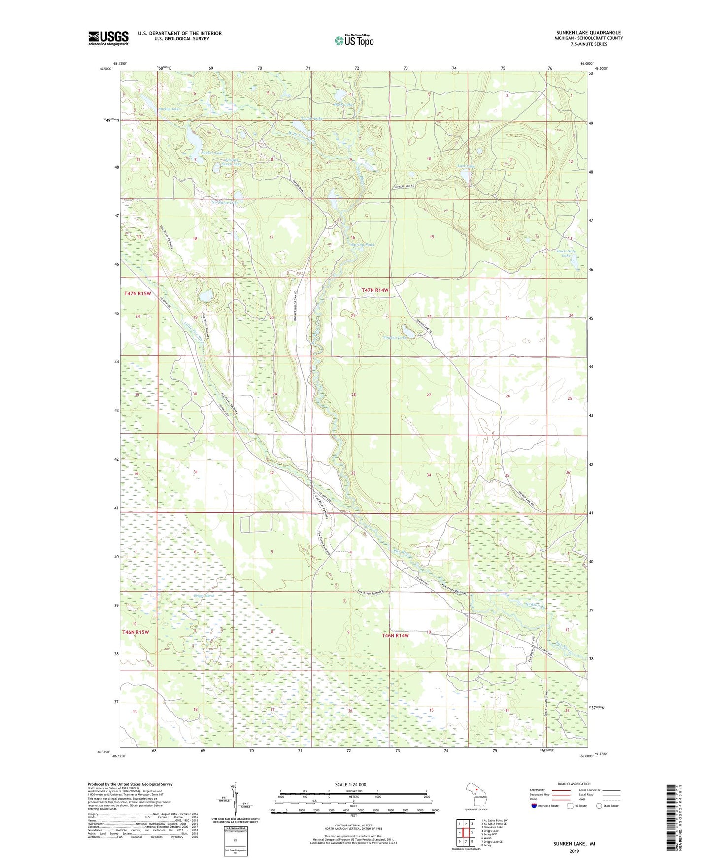
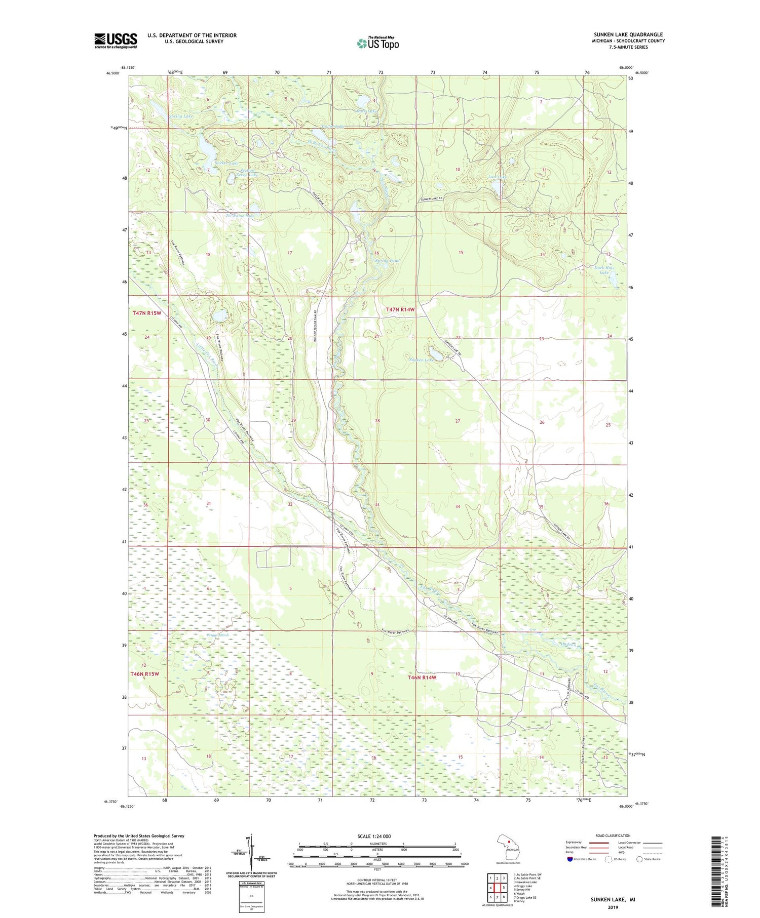
2019 topographic map quadrangle Sunken Lake in the state of Michigan. Scale: 1:24000. Based on the newly updated USGS 7.5' US Topo map series, this map is in the following counties: Schoolcraft. The map contains contour data, water features, and other items you are used to seeing on USGS maps, but also has updated roads and other features. This is the next generation of topographic maps. Printed on high-quality waterproof paper with UV fade-resistant inks.
Quads adjacent to this one:
West: Driggs Lake
Northwest: Au Sable Point SW
North: Au Sable Point SE
Northeast: Nawakwa Lake
East: Seney NW
Southeast: Seney
South: Driggs Lake SE
Southwest: Walsh
Contains the following named places: Dark Lake, Driggs Marsh, Duck Hole Lake, Fox River Campground, Fox River Public Access, Hudson Creek, Little Fox River, Lost Lake, No Name Lake, Section Seven Lake, Spring Lake, Spring Pond, Sucker Lake, Sunken Lake, Taylor Lake, Township of Seney, West Branch Fox River, ZIP Code: 49883