
MyTopo
Wacousta Michigan US Topo Map
Couldn't load pickup availability
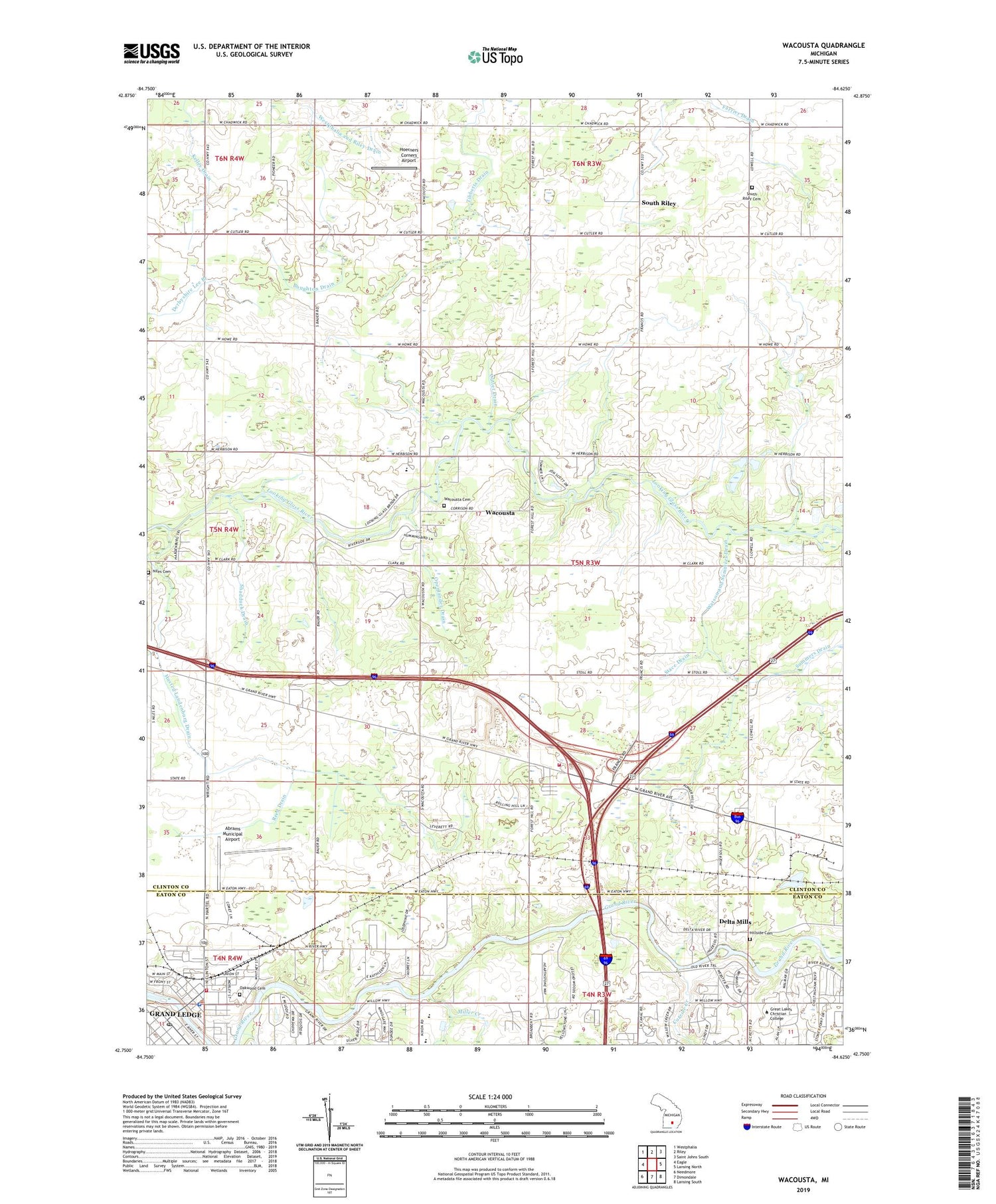
2019 topographic map quadrangle Wacousta in the state of Michigan. Scale: 1:24000. Based on the newly updated USGS 7.5' US Topo map series, this map is in the following counties: Clinton, Eaton. The map contains contour data, water features, and other items you are used to seeing on USGS maps, but also has updated roads and other features. This is the next generation of topographic maps. Printed on high-quality waterproof paper with UV fade-resistant inks.
Quads adjacent to this one:
West: Eagle
Northwest: Westphalia
North: Riley
Northeast: Saint Johns South
East: Lansing North
Southeast: Lansing South
South: Dimondale
Southwest: Needmore
Contains the following named places: Abrams Municipal Airport, Bible Missionary Church, Blake's Opera House Historical Marker, Boughton Drain, Carrier Creek, Charter Township of Watertown, City of Grand Ledge, Clark Farms, Country Village Mobile Home Park, Cutler Drain, Delta Mills, Delta Mills Historical Marker, Delta Mills Park, Delta Mills School, Delta Post Office, Delta Station, DeWitt Rest Area, Farrier Drain, First United Methodist Church, Governor Frank D Fitzgerald Home Historical Marker, Grand Ledge, Grand Ledge Ambulance Service, Grand Ledge Area Fire Department, Grand Ledge City Hall, Grand Ledge Historical Museum, Grand Ledge Library, Grand Ledge Police Department, Grand Ledge Post Office, Grand Ledge Rest Area, Grand Ledge Seventh-Day Adventist Church, Grand Ledge Station, Great Lakes Christian College, Greenwood School, Hawk Meadows Park, Hillside Cemetery, Hoerners Corners Airport, Hunters Orchard Park, Husted Landenburg Drain, Imperial Mobile Homes, Ingersoll Post Office, Ingersoll Station, Ledges Adventist Elementary School, Leon W Hayes School, Looking Glass Regional Fire Authority Fire Station, Michigan's Capitol Historical Marker, Miller Creek, Niles Cemetery, Oakwood Cemetery, Openlander Drain, Reed Drain, S and J Farms, Second Island Historical Marker, Shadduck Drain, Smith Drain, South Riley, South Riley Cemetery, South Riley Church, South Riley Post Office, South Riley School, Stace Drain, Sun Theatre, Trinity Episcopal Church, Wacousta, Wacousta Cemetery, Wacousta Census Designated Place, Wacousta Community United Methodist Church, Wacousta Post Office, Warren School, Watson and Summers Drain, West Bend Farms, Willow Ridge Elementary School, Wilson Drain, Wood Haven Center School, WQHH-FM (DeWitt)


