MyTopo
Winona North Michigan US Topo Map
Couldn't load pickup availability
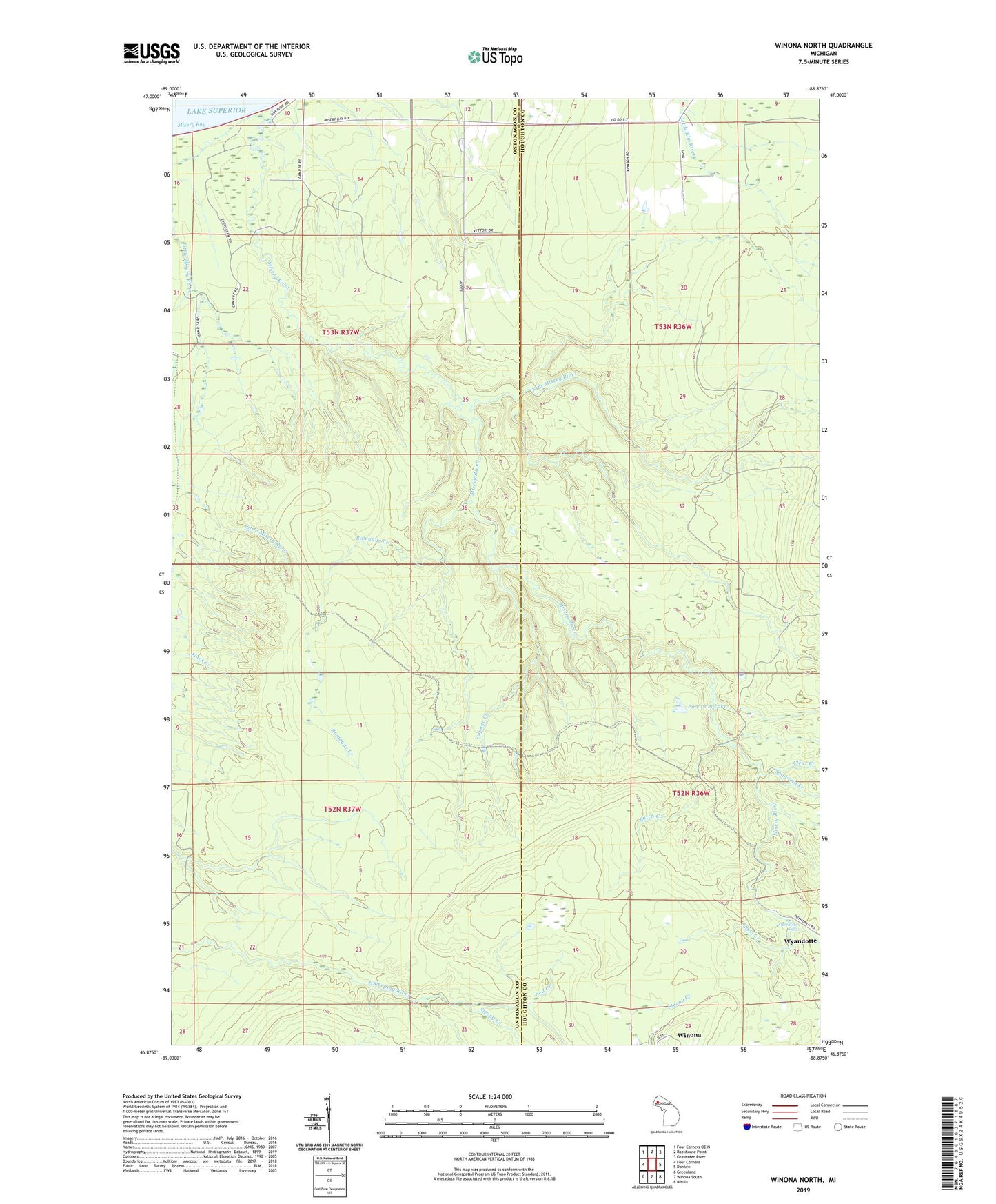
2019 topographic map quadrangle Winona North in the state of Michigan. Scale: 1:24000. Based on the newly updated USGS 7.5' US Topo map series, this map is in the following counties: Ontonagon, Houghton. The map contains contour data, water features, and other items you are used to seeing on USGS maps, but also has updated roads and other features. This is the next generation of topographic maps. Printed on high-quality waterproof paper with UV fade-resistant inks.
Quads adjacent to this one:
West: Four Corners
Northwest: Four Corners OE N
North: Rockhouse Point
Northeast: Graveraet River
East: Donken
Southeast: Nisula
South: Winona South
Southwest: Greenland
Contains the following named places: Ahola Creek, Butch Creek, Capone Creek, Clear Creek, Little Misery River, Misery Bay School, Misery River, North Branch Misery River, Pine Dam Lake, Red Creek, Romague Creek, Shawmut Creek, Sleepy Creek, Wyandotte, Wyandotte Falls