MyTopo
Badger NW Minnesota US Topo Map
Couldn't load pickup availability
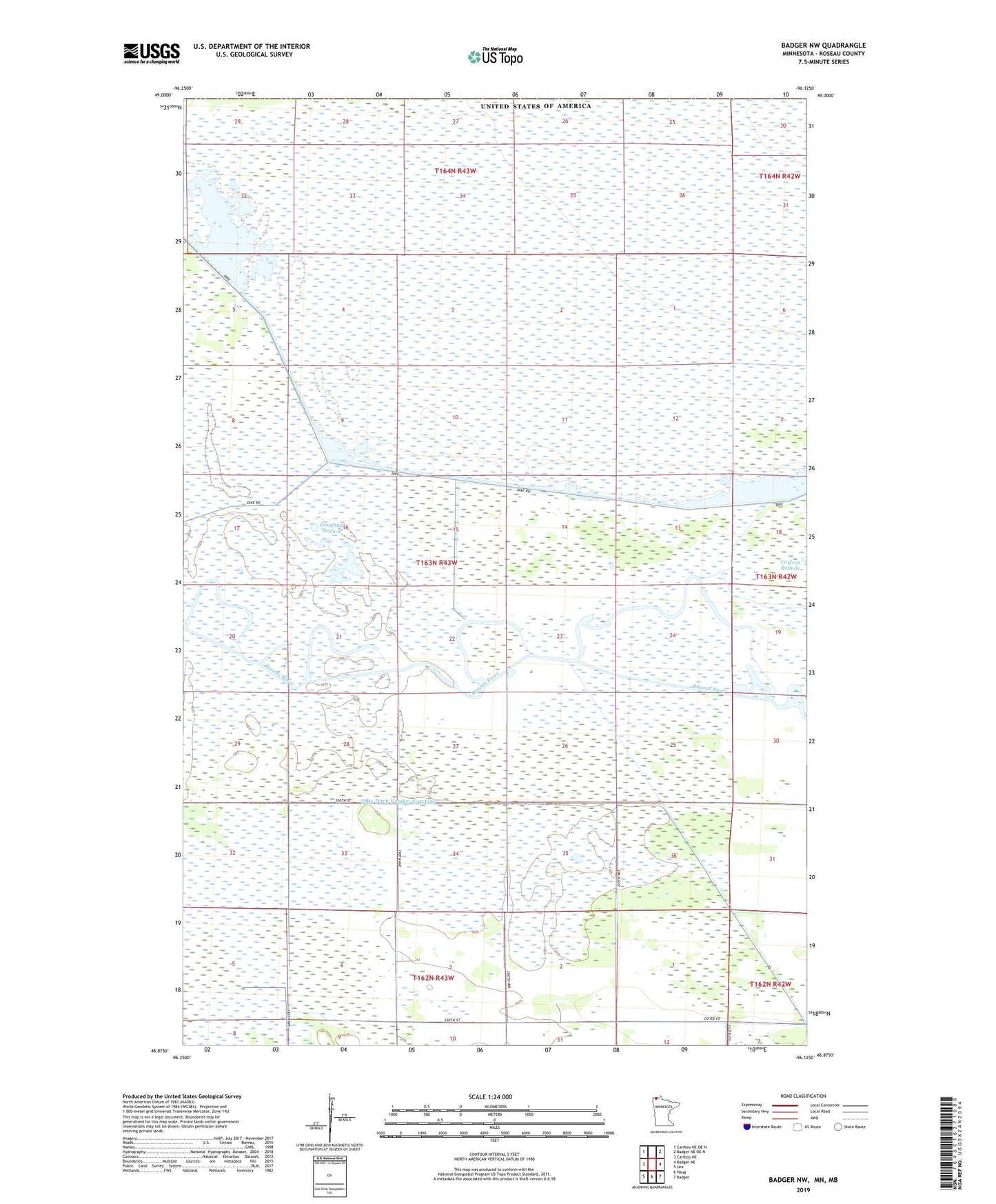
2022 topographic map quadrangle Badger NW in the state of Minnesota. Scale: 1:24000. Based on the newly updated USGS 7.5' US Topo map series, this map is in the following counties: Roseau. The map contains contour data, water features, and other items you are used to seeing on USGS maps, but also has updated roads and other features. This is the next generation of topographic maps. Printed on high-quality waterproof paper with UV fade-resistant inks.
Quads adjacent to this one:
West: Caribou NE
Northwest: Caribou NE OE N
Northeast: Badger NE OE N
East: Badger NE
Southeast: Badger
South: Haug
Southwest: Leo
This map covers the same area as the classic USGS quad with code o48096h2.
Contains the following named places: Carlson Pothole, Doughnut Pothole, Pool 2, Pool Number Two, Roseau River State Wildlife Management Area, Roseau River Wildlife Management Area Pool 2 Dam, State Ditch Number Sixtynine