MyTopo
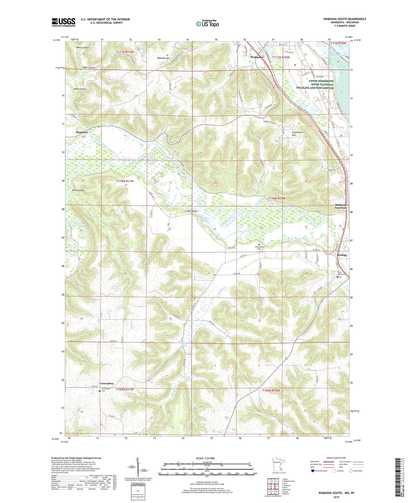
Wabasha South Minnesota US Topo Map
Couldn't load pickup availability
2022 topographic map quadrangle Wabasha South in the state of Minnesota. Scale: 1:24000. Based on the newly updated USGS 7.5' US Topo map series, this map is in the following counties: Wabasha, Buffalo. The map contains contour data, water features, and other items you are used to seeing on USGS maps, but also has updated roads and other features. This is the next generation of topographic maps. Printed on high-quality waterproof paper with UV fade-resistant inks.
Quads adjacent to this one:
West: Theilman
Northwest: Pepin
North: Wabasha North
Northeast: Urne
East: Alma
Southeast: Weaver
South: Beaver
Southwest: Plainview
Contains the following named places: Albertson Slough, Arrowhead Bluffs Museum, C Jordan Dam, Canfield Spring, City of Wabasha, Coffee Mill Country Club, Coffee Mill Ski Area, Conception, Conception Cemetery, Conception Post Office, Cook Valley, Costello Spring, Dumfries, Dumfries Post Office, Fry Slough, Greenfield Cemetery, Greenfield Hill, Hope Coulee, Kruger Campground, KWMB-FM (Wabasha), Marx Coulee, Midland Junction, Our Redeemer's Lutheran Church, Peter Drysdale Dam, Pine Slough, Ryan Coulee, Saint Agnes Catholic Church, Saint Agnes Cemetery, Sand Coulee, Schouweiller-Speedling Dam, Sheehan-Stork Dam, Trout Brook, Tushaus Slough, Wabasha - Kellogg High School, Wabasha County Jail, Wabasha County Sheriff's Office, Wabasha Hill, Wabasha Overlook, ZIP Codes: 55945, 55981


