MyTopo
Aldrich North Minnesota US Topo Map
Couldn't load pickup availability
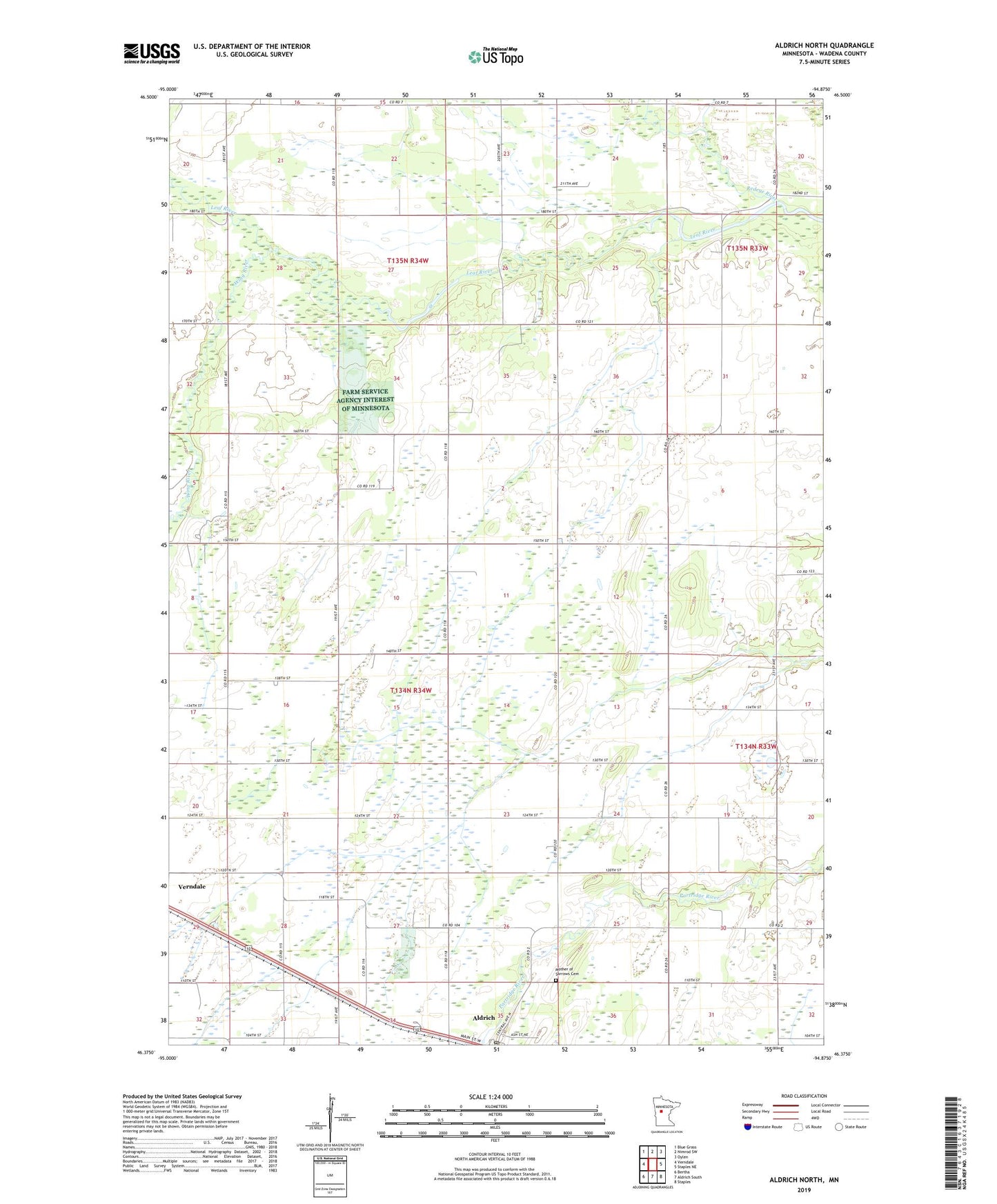
2022 topographic map quadrangle Aldrich North in the state of Minnesota. Scale: 1:24000. Based on the newly updated USGS 7.5' US Topo map series, this map is in the following counties: Wadena. The map contains contour data, water features, and other items you are used to seeing on USGS maps, but also has updated roads and other features. This is the next generation of topographic maps. Printed on high-quality waterproof paper with UV fade-resistant inks.
Quads adjacent to this one:
West: Verndale
Northwest: Blue Grass
North: Nimrod SW
Northeast: Oylen
East: Staples NE
Southeast: Staples
South: Aldrich South
Southwest: Bertha
This map covers the same area as the classic USGS quad with code o46094d8.
Contains the following named places: Aldrich, Aldrich Dam, Aldrich Post Office, Central, Central School, Hope Chapel, Mother of Sorrows Cemetery, Oak Grove Church, Partridge River, Redeye River, Township of Aldrich, Township of Wing River, Wing River, Wing River Tabernacle, ZIP Code: 56481