MyTopo
Ebro NW Minnesota US Topo Map
Couldn't load pickup availability
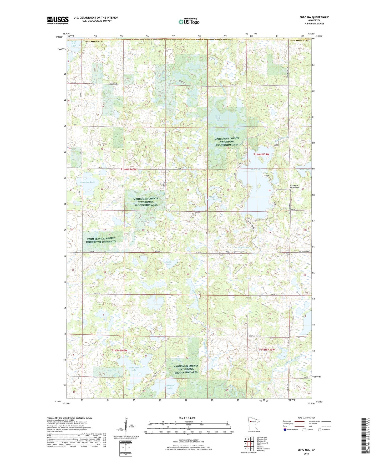
2022 topographic map quadrangle Ebro NW in the state of Minnesota. Scale: 1:24000. Based on the newly updated USGS 7.5' US Topo map series, this map is in the following counties: Mahnomen, Polk. The map contains contour data, water features, and other items you are used to seeing on USGS maps, but also has updated roads and other features. This is the next generation of topographic maps. Printed on high-quality waterproof paper with UV fade-resistant inks.
Quads adjacent to this one:
West: Mahnomen NE
Northwest: Fosston West
North: Fosston East
Northeast: Fosston SE
East: Ebro
Southeast: Roy Lake
South: North Twin Lake
Southwest: Beaulieu
This map covers the same area as the classic USGS quad with code o47095d6.
Contains the following named places: Annawaush Lake, Budde Meadow State Wildlife Managment Area, Flat Lake, Island Lake, Island Lake Creek, Matt Ayers Lake, Saint Agnes Catholic Cemetery, Saint Agnes Church, Simonson Lake, Skunk Lake, Snetsinger Lake, Sugar Bush Lake, Township of Heier, Wakefield Lake, Washington Lake