MyTopo
Flom SE Minnesota US Topo Map
Couldn't load pickup availability
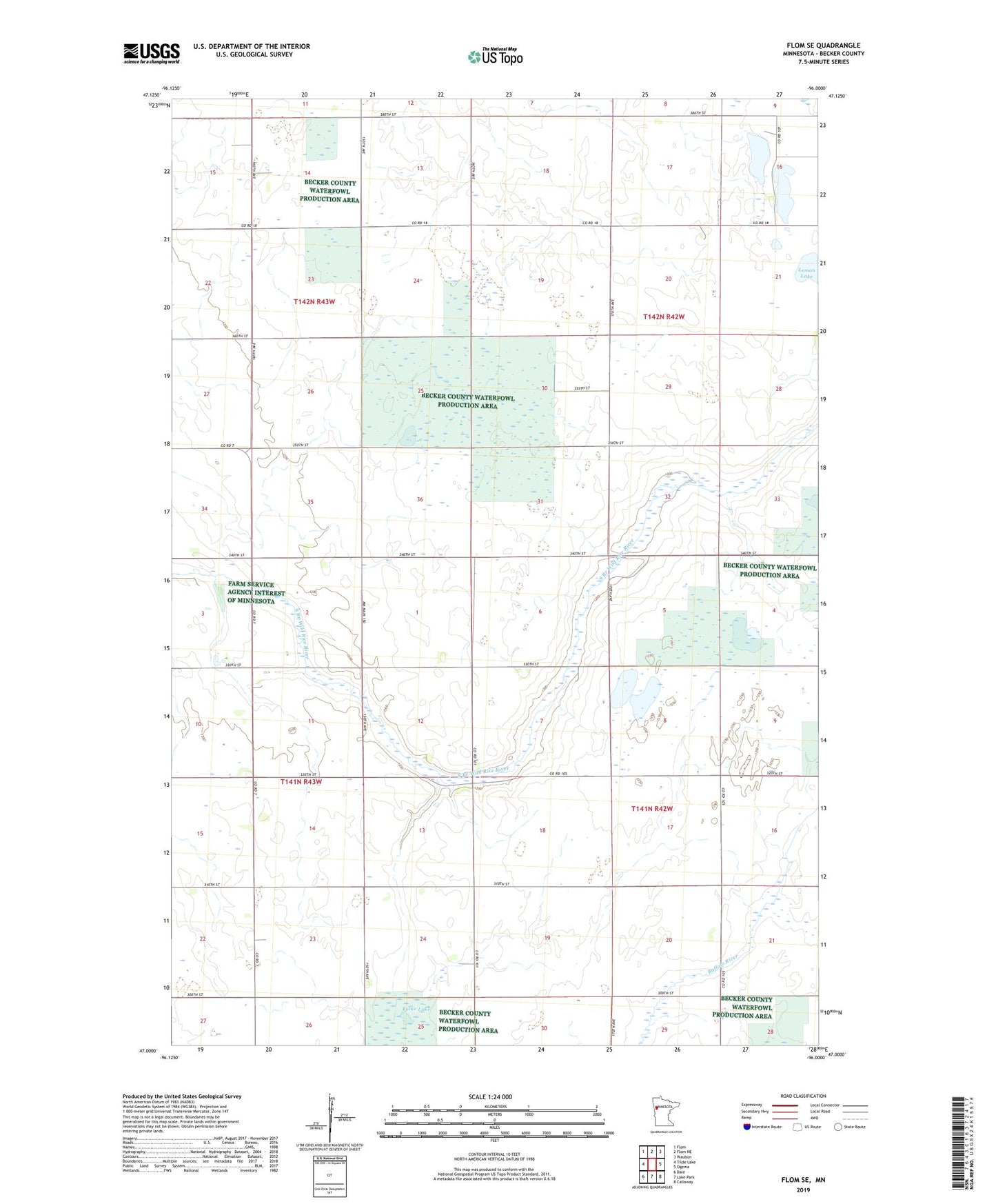
2022 topographic map quadrangle Flom SE in the state of Minnesota. Scale: 1:24000. Based on the newly updated USGS 7.5' US Topo map series, this map is in the following counties: Becker. The map contains contour data, water features, and other items you are used to seeing on USGS maps, but also has updated roads and other features. This is the next generation of topographic maps. Printed on high-quality waterproof paper with UV fade-resistant inks.
Quads adjacent to this one:
West: Tilde Lake
Northwest: Flom
North: Flom NE
Northeast: Waubun
East: Ogema
Southeast: Callaway
South: Lake Park
Southwest: Dale
This map covers the same area as the classic USGS quad with code o47096a1.
Contains the following named places: Balke Lake, Banana Lake, Becker County Waterfowl Production Area, Cucumber Lake, Lemon Lake, Pednor State Wildlife Management Area, South Branch Wild Rice River, South Branch Wild Rice River Lower Dam, South Branch Wild Rice River Upper Dam, Township of Riceville, Township of Spring Creek