MyTopo
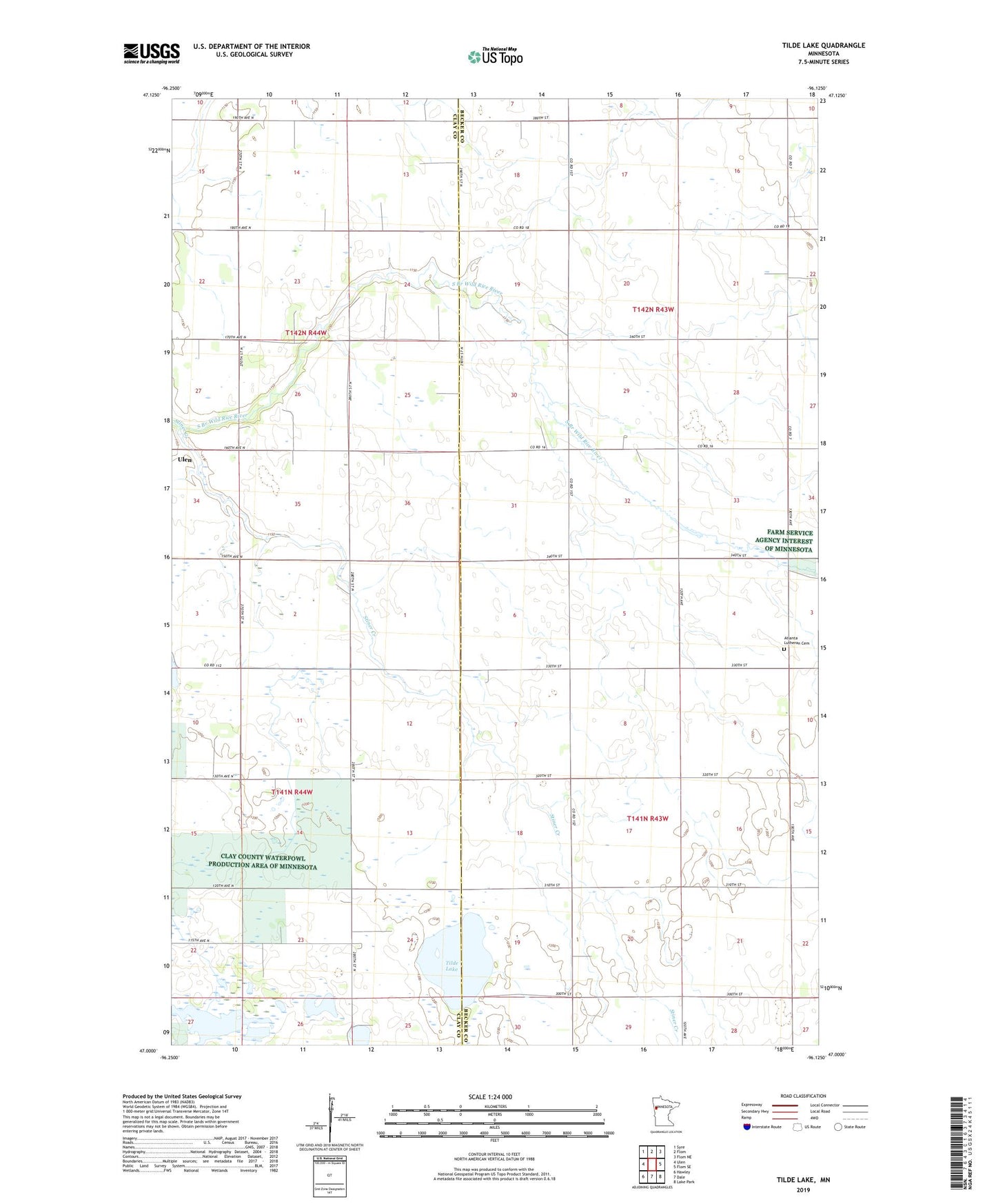
Tilde Lake Minnesota US Topo Map
Couldn't load pickup availability
2022 topographic map quadrangle Tilde Lake in the state of Minnesota. Scale: 1:24000. Based on the newly updated USGS 7.5' US Topo map series, this map is in the following counties: Becker, Clay. The map contains contour data, water features, and other items you are used to seeing on USGS maps, but also has updated roads and other features. This is the next generation of topographic maps. Printed on high-quality waterproof paper with UV fade-resistant inks.
Quads adjacent to this one:
West: Ulen
Northwest: Syre
North: Flom
Northeast: Flom NE
East: Flom SE
Southeast: Lake Park
South: Dale
Southwest: Hawley
This map covers the same area as the classic USGS quad with code o47096a2.
Contains the following named places: Atlanta Church, Atlanta Lutheran Cemetery, Bethlehem Lutheran Church, Calvary Lutheran Church, County Ditch Number Eighteen, Goose Prairie State Wildlife Management Area, Stiner Creek, Tilde Lake, Township of Atlanta, Township of Walworth, ZIP Code: 56585