MyTopo
Grant Lake Minnesota US Topo Map
Couldn't load pickup availability
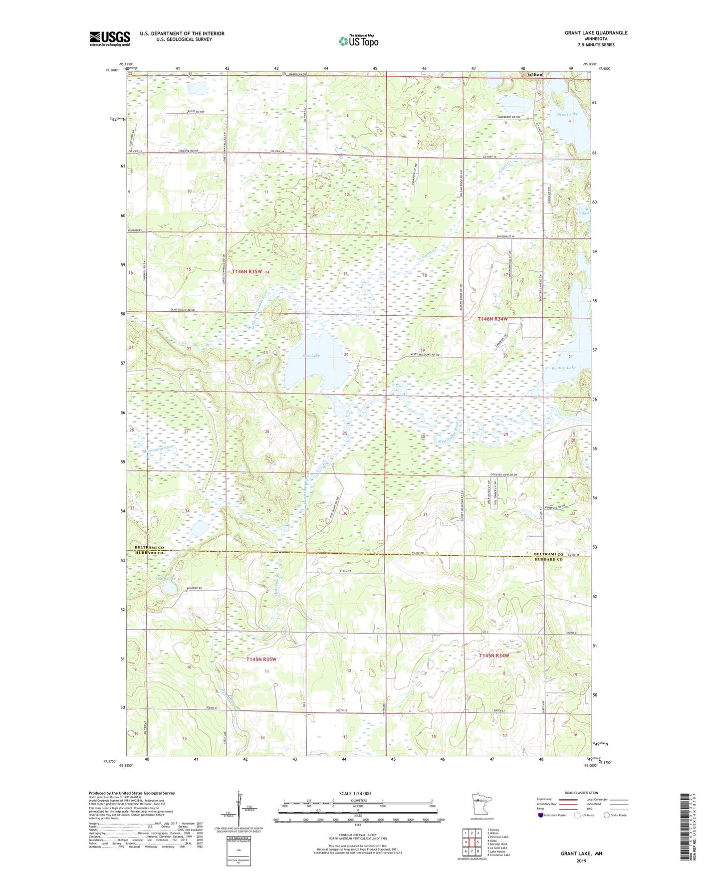
2022 topographic map quadrangle Grant Lake in the state of Minnesota. Scale: 1:24000. Based on the newly updated USGS 7.5' US Topo map series, this map is in the following counties: Beltrami, Hubbard. The map contains contour data, water features, and other items you are used to seeing on USGS maps, but also has updated roads and other features. This is the next generation of topographic maps. Printed on high-quality waterproof paper with UV fade-resistant inks.
Quads adjacent to this one:
West: Alida
Northwest: Solway
North: Wilton
Northeast: Peterson Lake
East: Bemidji West
Southeast: Frontenac Lake
South: Lake Hattie
Southwest: La Salle Lake
This map covers the same area as the classic USGS quad with code o47095d1.
Contains the following named places: Bootleg Lake, Grant Creek, Grant Lake, Hennepin Creek, Little Boot Lake, Little Mississippi River, Mississippi Headwaters State Forest, Rice Lake, Roglien Memorial Park, Smith Lake, Township of Jones, Twin Lakes, ZIP Code: 56678