MyTopo
Hackensack Minnesota US Topo Map
Couldn't load pickup availability
Also explore the Hackensack Forest Service Topo of this same quad for updated USFS data
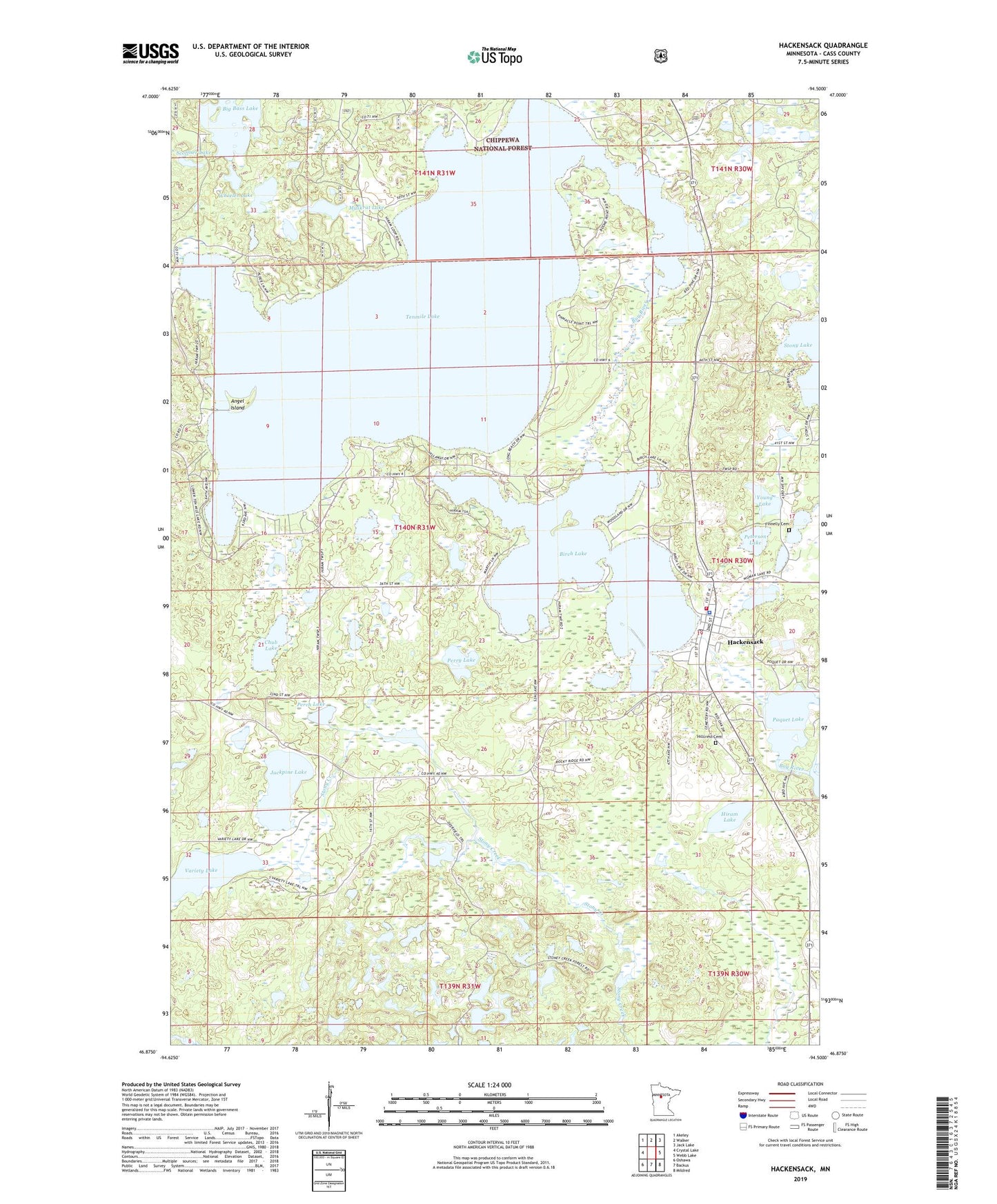
2022 topographic map quadrangle Hackensack in the state of Minnesota. Scale: 1:24000. Based on the newly updated USGS 7.5' US Topo map series, this map is in the following counties: Cass. The map contains contour data, water features, and other items you are used to seeing on USGS maps, but also has updated roads and other features. This is the next generation of topographic maps. Printed on high-quality waterproof paper with UV fade-resistant inks.
Quads adjacent to this one:
West: Crystal Lake
Northwest: Akeley
North: Walker
Northeast: Jack Lake
East: Webb Lake
Southeast: Mildred
South: Backus
Southwest: Oshawa
This map covers the same area as the classic USGS quad with code o46094h5.
Contains the following named places: Angel Island, Birch Lake, Birch Lake Lookout Tower, Chub Lake, City of Hackensack, Finnelly Cemetery, First Trestle Lake, Hackensack, Hackensack Fire Department, Hackensack Police Department, Hackensack Post Office, Heartland Baptist Church, Hillcrest Cemetery, Hiram Lake, Jackpine Lake, Muskrat Lake, Perch Lake, Perry Lake, Peterson Lake, Poquet Lake, Sacred Heart Catholic Church, Scoffner Lake, Seventh Day Adventist Church, Tenmile Lake, Township of Hiram, United Church of Christ, Variety Lake, Wheeler Lake, Woodtick Number One Impoundment, Woodtick Number Two Impoundment, Young Lake