MyTopo
Hassman Minnesota US Topo Map
Couldn't load pickup availability
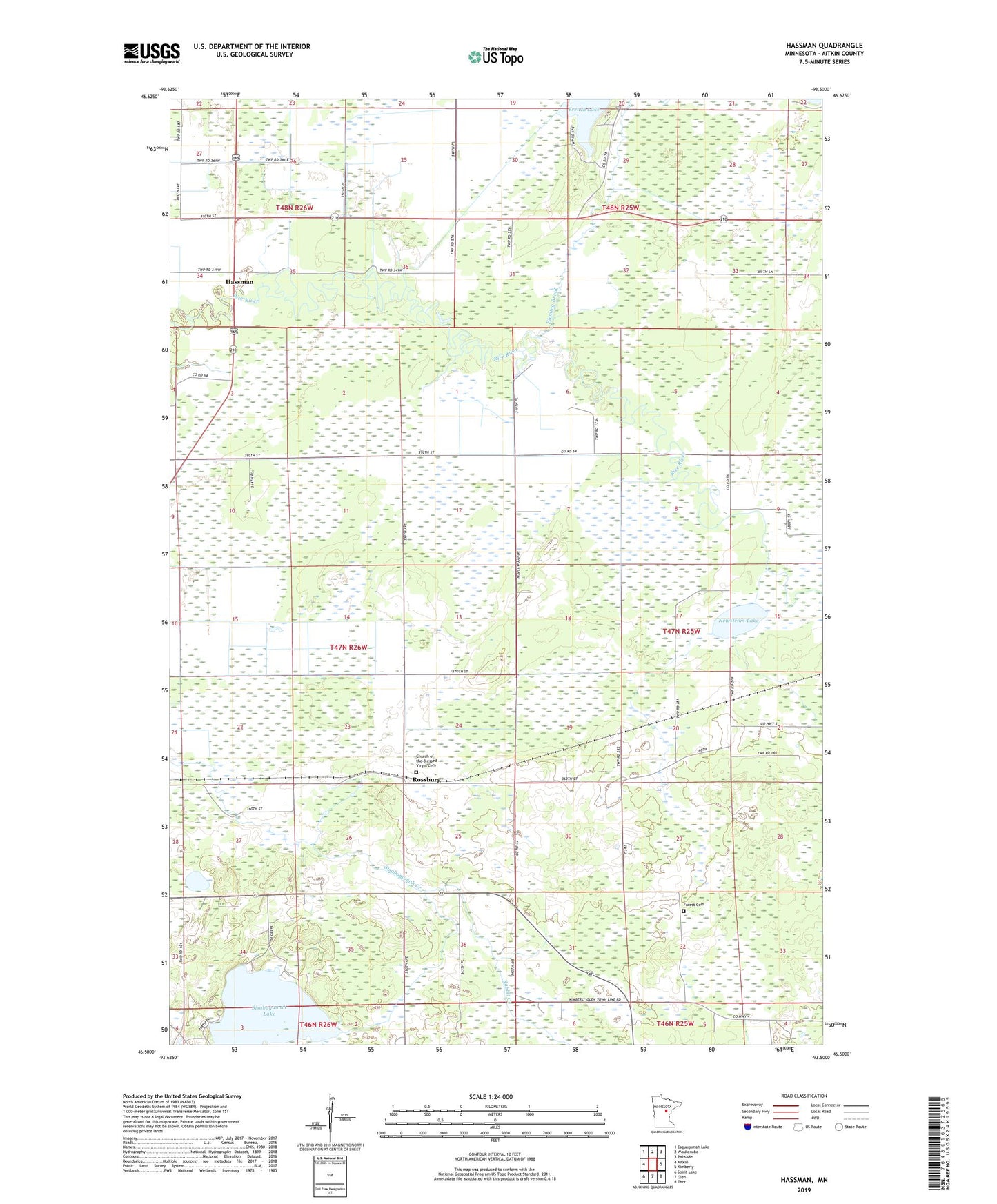
2022 topographic map quadrangle Hassman in the state of Minnesota. Scale: 1:24000. Based on the newly updated USGS 7.5' US Topo map series, this map is in the following counties: Aitkin. The map contains contour data, water features, and other items you are used to seeing on USGS maps, but also has updated roads and other features. This is the next generation of topographic maps. Printed on high-quality waterproof paper with UV fade-resistant inks.
Quads adjacent to this one:
West: Aitkin
Northwest: Esquagamah Lake
North: Waukenabo
Northeast: Palisade
East: Kimberly
Southeast: Thor
South: Glen
Southwest: Spirit Lake
This map covers the same area as the classic USGS quad with code o46093e5.
Contains the following named places: Aitkin Wildlife Management Area, Assembly of God Church, Church of the Blessed Virgin Cemetery, Fleming Brook, Forest Cemetery, Hassman, Newstrom Lake, Newstrom State Wildlife Management Area, Rabbit Creek, Rice River Post Office, Rossburg, Rossburg Post Office, Sisabagamah Lake, Township of Spencer