MyTopo
Hillman SE Minnesota US Topo Map
Couldn't load pickup availability
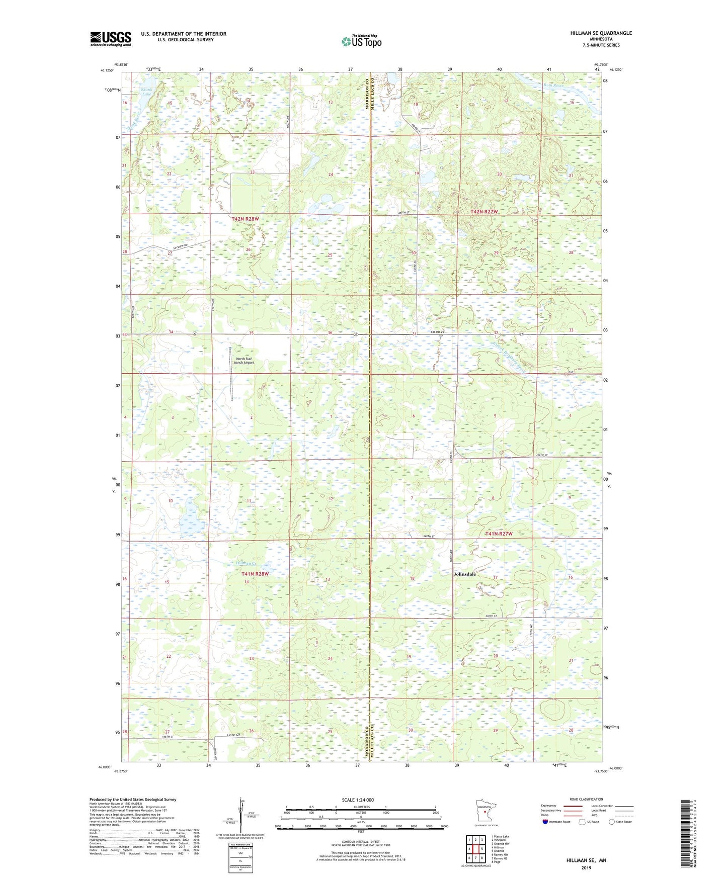
2019 topographic map quadrangle Hillman SE in the state of Minnesota. Scale: 1:24000. Based on the newly updated USGS 7.5' US Topo map series, this map is in the following counties: Morrison, Mille Lacs. The map contains contour data, water features, and other items you are used to seeing on USGS maps, but also has updated roads and other features. This is the next generation of topographic maps. Printed on high-quality waterproof paper with UV fade-resistant inks.
Quads adjacent to this one:
West: Hillman
Northwest: Platte Lake
North: Vineland
Northeast: Onamia NW
East: Onamia
Southeast: Page
South: Ramey NE
Southwest: Ramey NW
Contains the following named places: Johnsdale, Kurtz Pond Dam, North Star Ranch Airport, Skunk Lake, Township of Leigh, Township of Richardson, ZIP Code: 56338