MyTopo
Platte Lake Minnesota US Topo Map
Couldn't load pickup availability
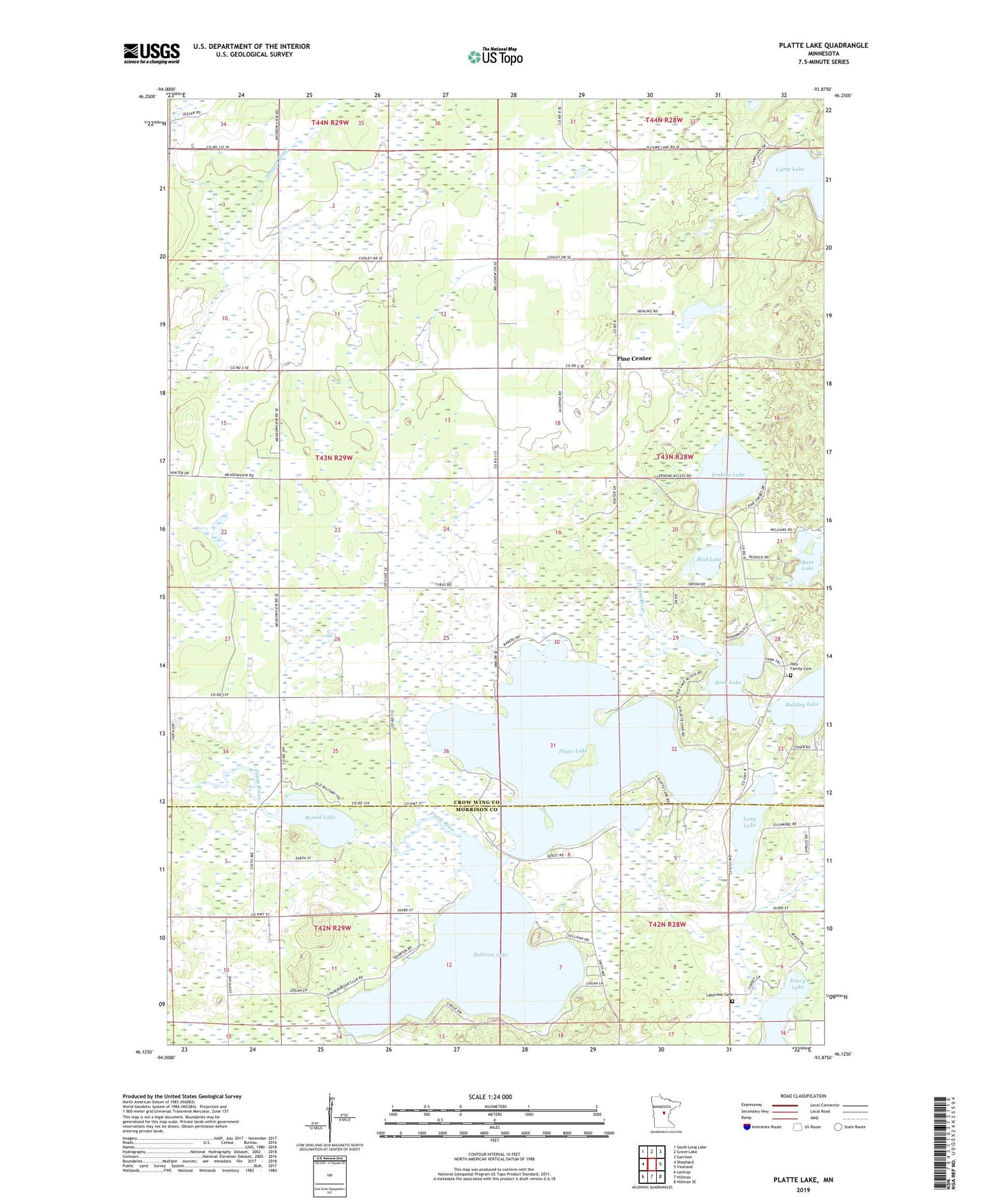
2022 topographic map quadrangle Platte Lake in the state of Minnesota. Scale: 1:24000. Based on the newly updated USGS 7.5' US Topo map series, this map is in the following counties: Crow Wing, Morrison. The map contains contour data, water features, and other items you are used to seeing on USGS maps, but also has updated roads and other features. This is the next generation of topographic maps. Printed on high-quality waterproof paper with UV fade-resistant inks.
Quads adjacent to this one:
West: Shephard
Northwest: South Long Lake
North: Grave Lake
Northeast: Garrison
East: Vineland
Southeast: Hillman SE
South: Hillman
Southwest: Lastrup
This map covers the same area as the classic USGS quad with code o46093b8.
Contains the following named places: Bass Lake, Bulldog Lake, Camp Lake, Emmanuel Church, Erskine Lake, Holy Family Cemetery, Holy Family Church, Lakeview Cemetery, Lakeview Church, Long Lake, Mud Lake, Peavy Lake, Pine Center, Platte Lake, Rock Lake, Round Lake, Schwitz Post Office, Sullivan Lake, Township of Platte Lake