MyTopo
Jasper NW Minnesota US Topo Map
Couldn't load pickup availability
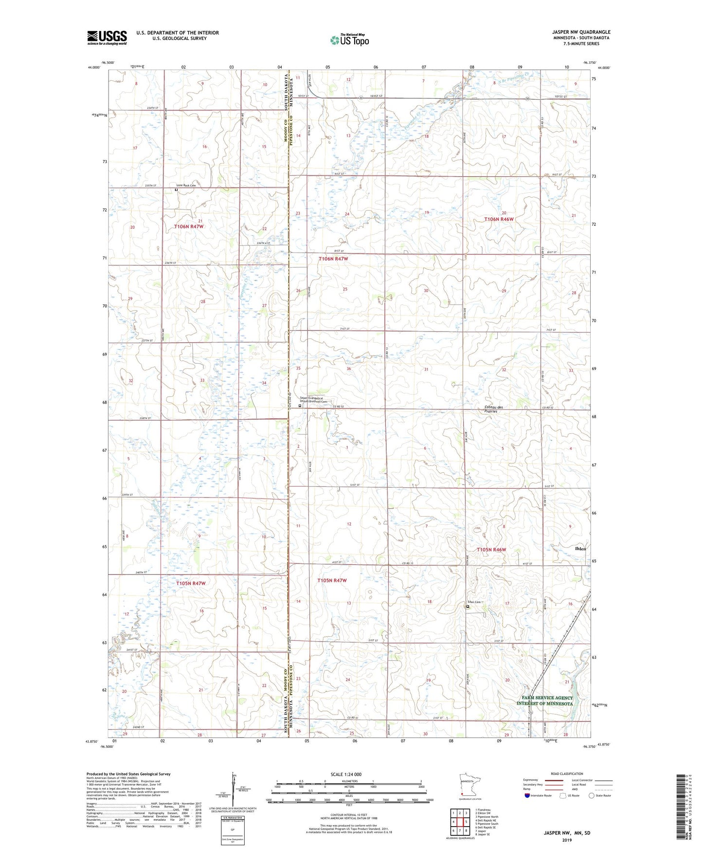
2022 topographic map quadrangle Jasper NW in the states of Minnesota, South Dakota. Scale: 1:24000. Based on the newly updated USGS 7.5' US Topo map series, this map is in the following counties: Pipestone, Moody. The map contains contour data, water features, and other items you are used to seeing on USGS maps, but also has updated roads and other features. This is the next generation of topographic maps. Printed on high-quality waterproof paper with UV fade-resistant inks.
Quads adjacent to this one:
West: Dell Rapids NE
Northwest: Flandreau
North: Elkton SW
Northeast: Pipestone North
East: Pipestone South
Southeast: Jasper SE
South: Jasper
Southwest: Dell Rapids SE
Contains the following named places: Eden Cemetery, Lone Creek Church, Lone Rock Cemetery, Lone Rock Church, Salem Church, Salem Evangelical United Brethren Cemetery, South Branch Pipestone Creek, Township of Alliance, Township of Eden, Township of Lone Rock, Township of Sweet, Uilk Farms