MyTopo
Kerkhoven SE Minnesota US Topo Map
Couldn't load pickup availability
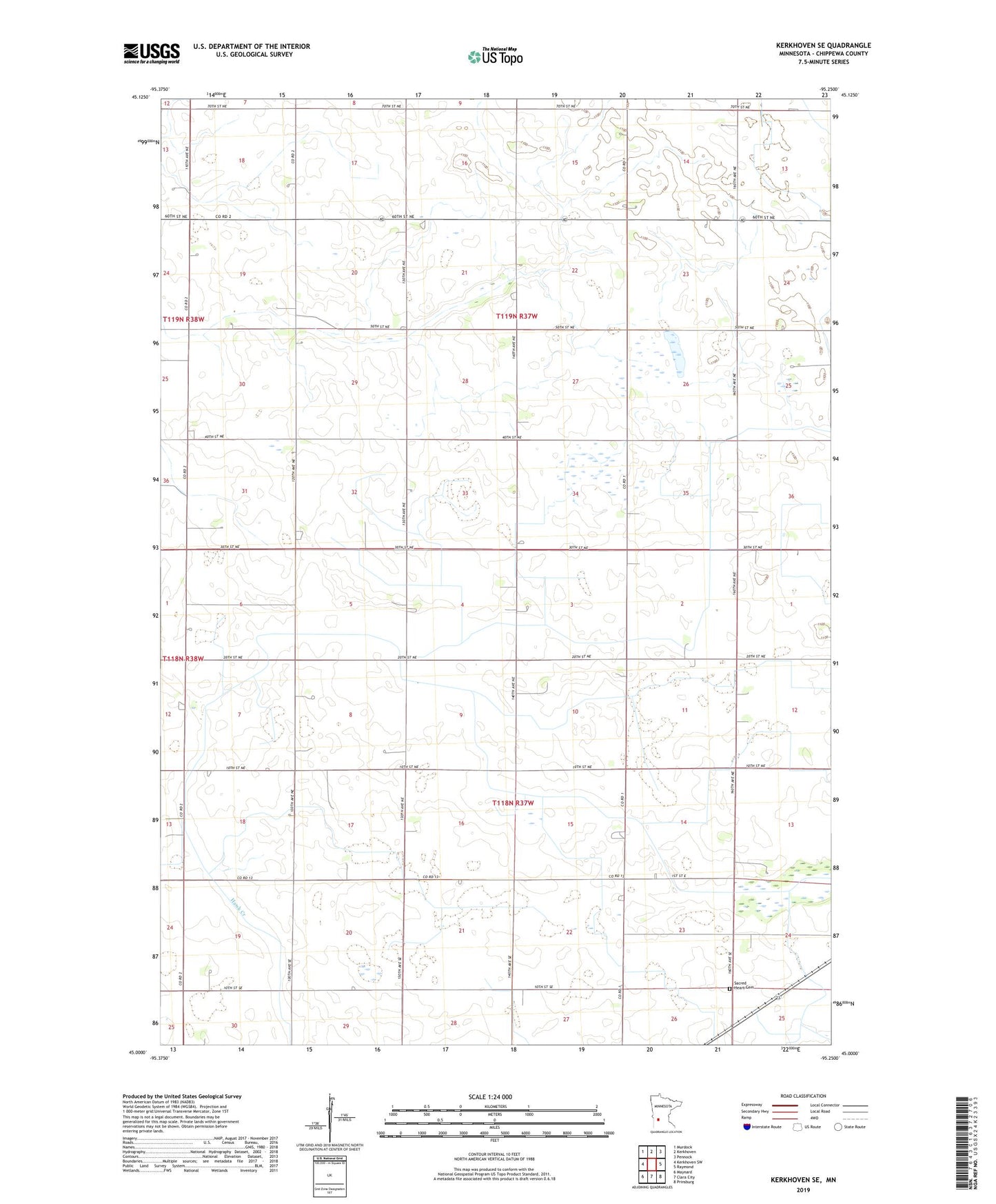
2022 topographic map quadrangle Kerkhoven SE in the state of Minnesota. Scale: 1:24000. Based on the newly updated USGS 7.5' US Topo map series, this map is in the following counties: Chippewa. The map contains contour data, water features, and other items you are used to seeing on USGS maps, but also has updated roads and other features. This is the next generation of topographic maps. Printed on high-quality waterproof paper with UV fade-resistant inks.
Quads adjacent to this one:
West: Kerkhoven SW
Northwest: Murdock
North: Kerkhoven
Northeast: Pennock
East: Raymond
Southeast: Prinsburg
South: Clara City
Southwest: Maynard
This map covers the same area as the classic USGS quad with code o45095a3.
Contains the following named places: Bluhm Farm, Sacred Heart Cemetery, School Number 301, School Number 317, Township of Lone Tree, Township of Woods