MyTopo
Makinen Minnesota US Topo Map
Couldn't load pickup availability
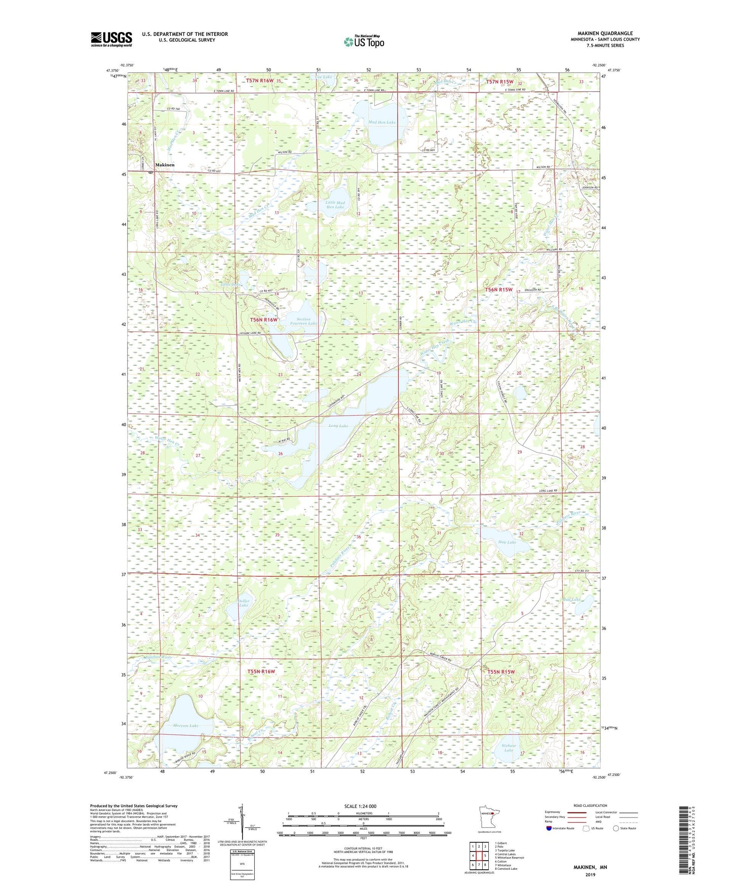
2022 topographic map quadrangle Makinen in the state of Minnesota. Scale: 1:24000. Based on the newly updated USGS 7.5' US Topo map series, this map is in the following counties: St. Louis. The map contains contour data, water features, and other items you are used to seeing on USGS maps, but also has updated roads and other features. This is the next generation of topographic maps. Printed on high-quality waterproof paper with UV fade-resistant inks.
Quads adjacent to this one:
West: Central Lakes
Northwest: Gilbert
North: Palo
Northeast: Turpela Lake
East: Whiteface Reservoir
Southeast: Comstock Lake
South: Whiteface
Southwest: Cotton
This map covers the same area as the classic USGS quad with code o47092c3.
Contains the following named places: Bobcat Creek, Dollar Lake, Hay Lake, Little Lake, Little Mud Hen Lake, Long Lake, Makinen, Makinen Post Office, Morcom Lake, Mud Hen Lake, Mud Lake, Section Fourteen Lake, South Branch Water Hen Creek, Unorganized Territory of Mud Hen Lake, Wabuse Lake