MyTopo
Northern Light Lake Minnesota US Topo Map
Couldn't load pickup availability
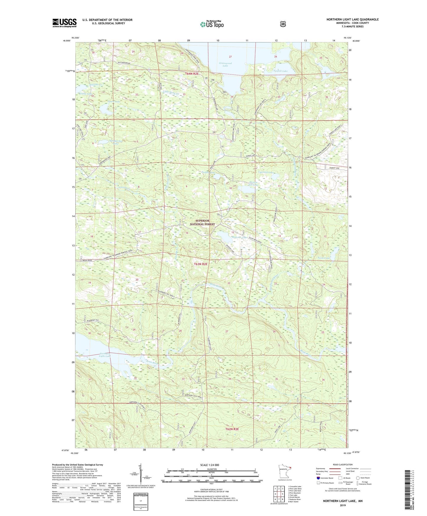
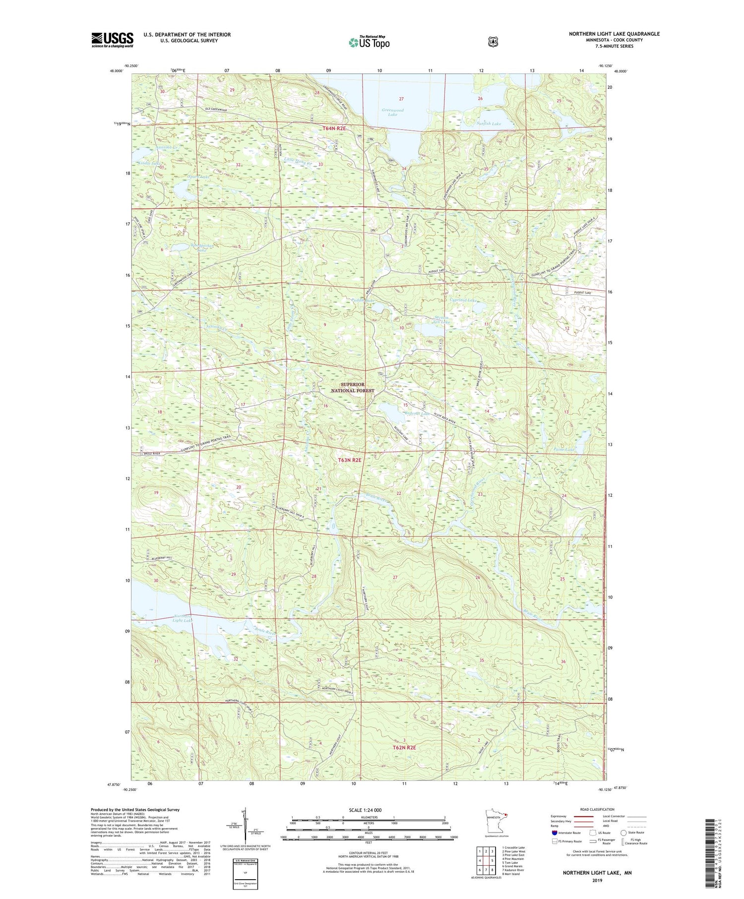
2019 topographic map quadrangle Northern Light Lake in the state of Minnesota. Scale: 1:24000. Based on the newly updated USGS 7.5' US Topo map series, this map is in the following counties: Cook. The map contains contour data, water features, and other items you are used to seeing on USGS maps, but also has updated roads and other features. This is the next generation of topographic maps. Printed on high-quality waterproof paper with UV fade-resistant inks.
Quads adjacent to this one:
West: Pine Mountain
Northwest: Crocodile Lake
North: Pine Lake West
Northeast: Pine Lake East
East: Tom Lake
Southeast: Marr Island
South: Kadunce River
Southwest: Grand Marais
Contains the following named places: Assinika Creek, Cyprinid Lake, Greenwood River, Kindle Lake, Little Stony Creek, Northern Light Lake, Paine Lake, Puddle Lake, Redcoat Lake, Section Ten Lake, Spark Lake, Sunfish Lake, Triangle Lake, Unorganized Territory of East Cook, Woodpecker Lake