MyTopo
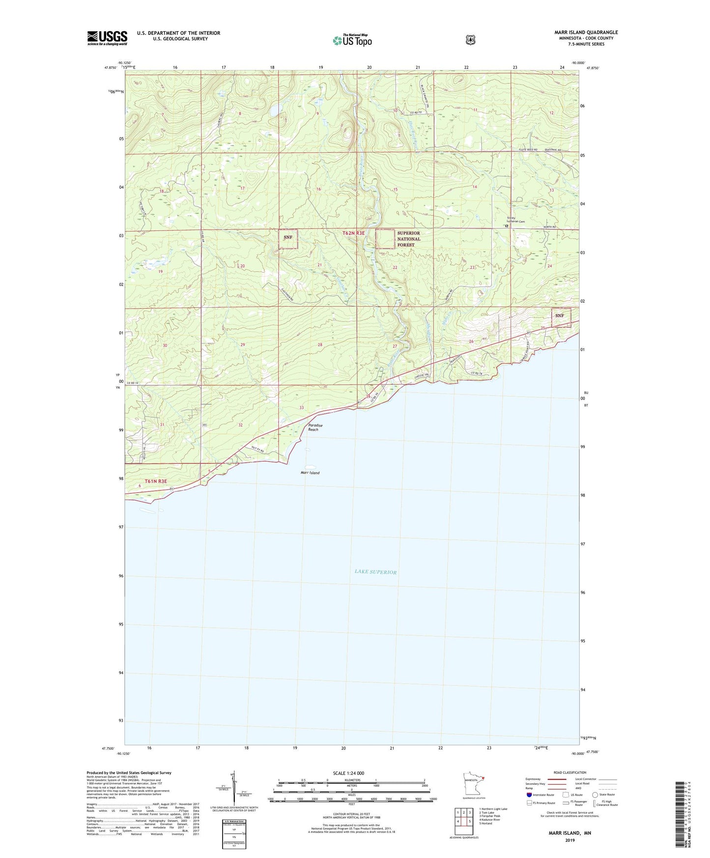
Marr Island Minnesota US Topo Map
Couldn't load pickup availability
Also explore the Marr Island Forest Service Topo of this same quad for updated USFS data
2022 topographic map quadrangle Marr Island in the state of Minnesota. Scale: 1:24000. Based on the newly updated USGS 7.5' US Topo map series, this map is in the following counties: Cook. The map contains contour data, water features, and other items you are used to seeing on USGS maps, but also has updated roads and other features. This is the next generation of topographic maps. Printed on high-quality waterproof paper with UV fade-resistant inks.
Quads adjacent to this one:
West: Kadunce River
Northwest: Northern Light Lake
North: Tom Lake
Northeast: Farquhar Peak
East: Hovland
This map covers the same area as the classic USGS quad with code o47090g1.
Contains the following named places: Arrowhead Park, Brule River, Gauthier Creek, Judge C R Magney State Park, Judge C R Magney State Park Historical Marker, Marr Island, Murphy Creek, Myhr Creek, Paradise Beach, Trinity Lutheran Cemetery