MyTopo
Ottertail Minnesota US Topo Map
Couldn't load pickup availability
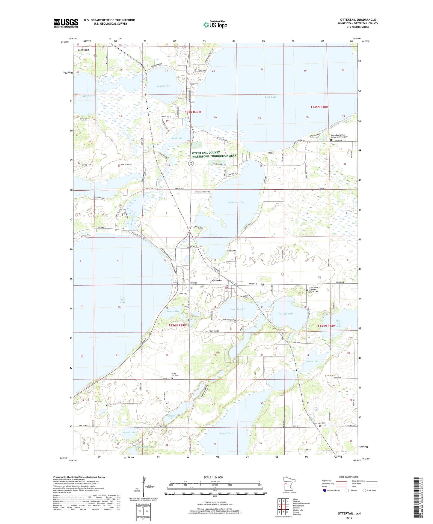
2022 topographic map quadrangle Ottertail in the state of Minnesota. Scale: 1:24000. Based on the newly updated USGS 7.5' US Topo map series, this map is in the following counties: Otter Tail. The map contains contour data, water features, and other items you are used to seeing on USGS maps, but also has updated roads and other features. This is the next generation of topographic maps. Printed on high-quality waterproof paper with UV fade-resistant inks.
Quads adjacent to this one:
West: Walker Lake
Northwest: Dent
North: Perham
Northeast: New York Mills West
East: Heinola
Southeast: Henning
South: Vining
Southwest: Battle Lake
This map covers the same area as the classic USGS quad with code o46095d5.
Contains the following named places: Buchanan Lake, City of Ottertail, Donalds Lake, Gourd Lake, Grass Lake, Head Lake, Leaf Lake Cemetery, Long Lake, Mud Lake, Otter Tail City Historical Marker, Otter Tail County Sheriff's Office Substation, Otter Tail Lake Rest Area, Otter Tail Union Cemetery, Ottertail, Ottertail Fire and Rescue, Ottertail Post Office, Pelican Bay, Pickerel Lake, Portage Lake, Round Lake, Rush Lake, Rush Lake Dam, Rush Lake Post Office, Saint John School, Saint John's Lutheran Church, Saint John's Lutheran Church Cemetery, Salem Evangelical United Brethren Cemetery, School Number 117, School Number 163, School Number 199, Sherman Lake, Thumper Pond Golf Course, Township of Otter Tail, Township of Rush Lake, United Methodist Church, Zion Cemetery, ZIP Code: 56571


