MyTopo
Owatonna Minnesota US Topo Map
Couldn't load pickup availability
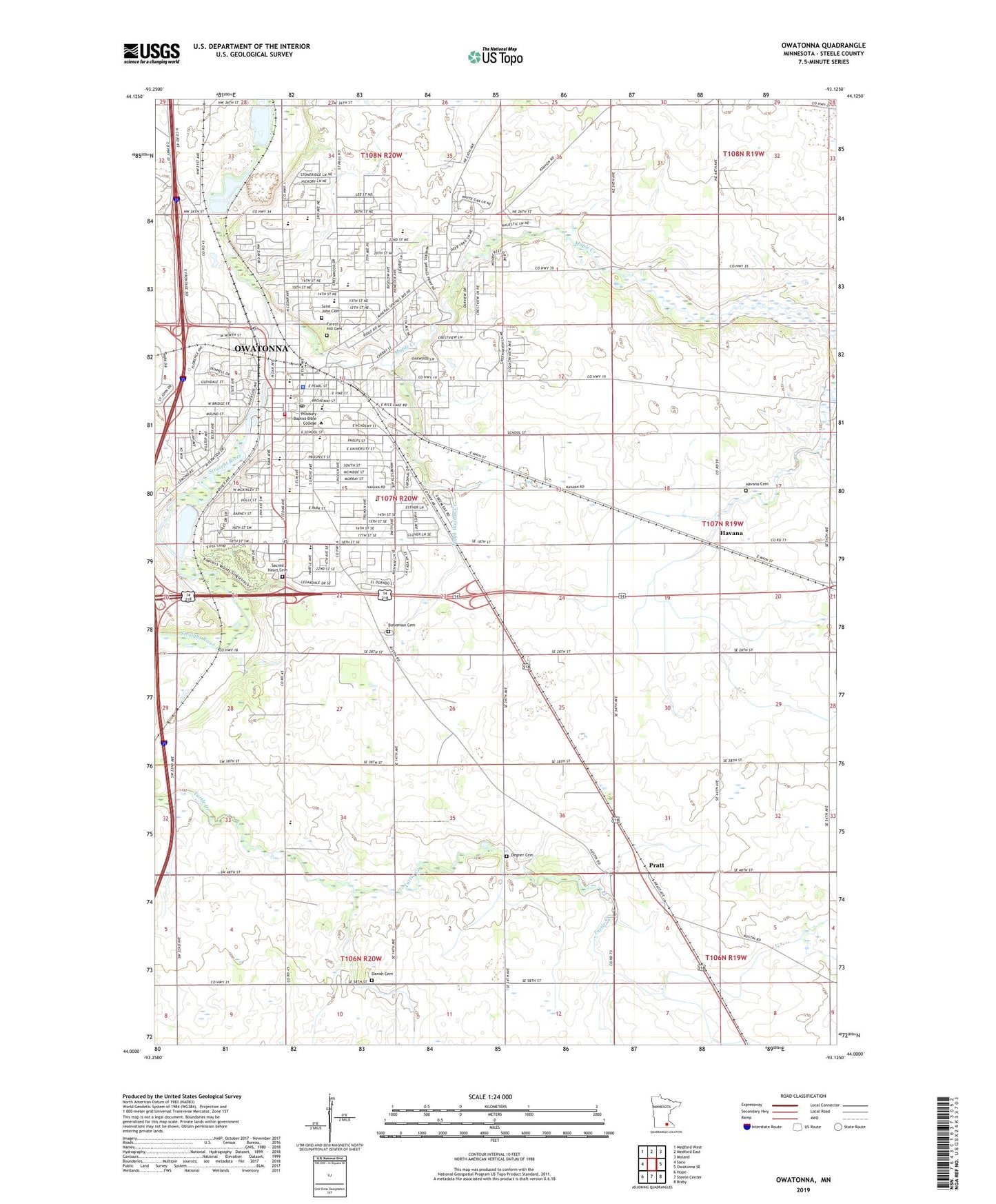
2022 topographic map quadrangle Owatonna in the state of Minnesota. Scale: 1:24000. Based on the newly updated USGS 7.5' US Topo map series, this map is in the following counties: Steele. The map contains contour data, water features, and other items you are used to seeing on USGS maps, but also has updated roads and other features. This is the next generation of topographic maps. Printed on high-quality waterproof paper with UV fade-resistant inks.
Quads adjacent to this one:
West: Saco
Northwest: Medford West
North: Medford East
Northeast: Moland
East: Owatonna SE
Southeast: Bixby
South: Steele Center
Southwest: Hope
This map covers the same area as the classic USGS quad with code o44093a2.
Contains the following named places: Associated Church, Bethel Baptist Church, Bohemian Cemetery, Brooktree Golf Course, Calvary Church, Cashman Park, Cedar Mall, Cedarview Nursing Home, Central Park, Christ Community Covenant Church, Christian Family Church, Church of Christ, City of Owatonna, Countryside Church, County Ditch Number Nineteen, County Ditch Number One, Crocus Park, Danish Cemetery, Dartts Park, Degner Cemetery, El Shaddai Private School, Emmanuel Evangelical Lutheran Church, Fairgrounds Park, First Baptist Church, First Church of God, First United Pentecostal Church, Forest Hill Cemetery, Fremont Park, Gainey Park, Good Samaritan Church, Good Shepherd Lutheran Church, Grace Baptist Church, Hammann Park, Havana, Havana Cemetery, Havana Post Office, Hidden Creek Golf Club, Infinia Health Care Center, Izaak Walton Creek, Jaycee Park, Kaplan Woods State Park, Kingdom Hall of Jehovahs Witnesses, KRFO-AM (Owatonna), KRFO-FM (Owatonna), Lincoln Elementary School, Manthey Park, Maple Creek, Maple Creek Park, Mayo Clinic Ambulance, McKinley Elementary School, Mineral Springs Park, Minnesota State School Orphanage Museum, Minot Brown Park, Morehouse Park, Morehouse Park Dam, National Farmers Bank of Owatonna Historical Marker, Our Savior's Lutheran Church, Owatonna, Owatonna Back and Neck Clinic, Owatonna Campground, Owatonna Christian School, Owatonna Clinic, Owatonna Country Club, Owatonna Fire Department, Owatonna Junior High School, Owatonna Police Department, Owatonna Post Office, Owatonna Public Library, Owatonna Senior High School, Owatonna State School, Pillsbury Baptist Bible College, Prairie Park, Pratt, Pratt Post Office, Redeemer Lutheran Church, Roetman-Butler Podiatry Clinic, Sacred Heart Cemetery, Sacred Heart Church, Saint John Lutheran Cemetery, Saint John Lutheran Church, Saint Joseph's Church, Saint Mary's School, Saint Paul's Episcopal Church, School Number 2090, School Number 2096, School Number 2099, School Number 2100, School Number 2101, School Number 2103, School Number 2128, Seventh Day Adventist Church, Skyline Gardens Mobile Home Park, Steele County, Steele County Courthouse, Steele County Fairgrounds, Steele County Sheriff's Office, Township of Owatonna, Trinity Lutheran Church, Union Depot, United Methodist Church, Village of Yesteryear, Washington Elementary School, West Hills Park, Willow Creek Intermediate School, Willow Park, Wilson Elementary School, Word of Life Assembly, ZIP Code: 55060


