
MyTopo
Quam Lake Minnesota US Topo Map
Couldn't load pickup availability
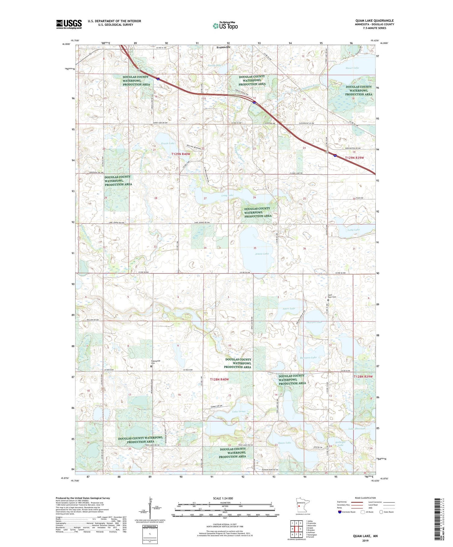
2019 topographic map quadrangle Quam Lake in the state of Minnesota. Scale: 1:24000. Based on the newly updated USGS 7.5' US Topo map series, this map is in the following counties: Douglas. The map contains contour data, water features, and other items you are used to seeing on USGS maps, but also has updated roads and other features. This is the next generation of topographic maps. Printed on high-quality waterproof paper with UV fade-resistant inks.
Quads adjacent to this one:
West: Erdahl
Northwest: Ashby
North: Evansville
Northeast: Millerville
East: Brandon
Southeast: Farwell
South: Kensington
Southwest: Hoffman
Contains the following named places: Amos Lake, Barsness Lake, Chippewa River Fish Barrier Dam, Erwin Lake, Fanny Lake, Frykesende Cemetery, Holl Lake, Holleque Lake, Jennie Lake, Jennie Lake Flowage Fish Barrier Dam, Lake Thorstad, Lake Venus, Long Lake, Minister Lake Dam, Quam Lake, Red Rock State Wildlife Management Area, Saint Petri Cemetery, Saint Petrie Church, Stowe Lake, Thorson Lake, Township of Evansville, Township of Urness, Urness State Wildlife Management Area


