MyTopo
Raymond Lake Minnesota US Topo Map
Couldn't load pickup availability
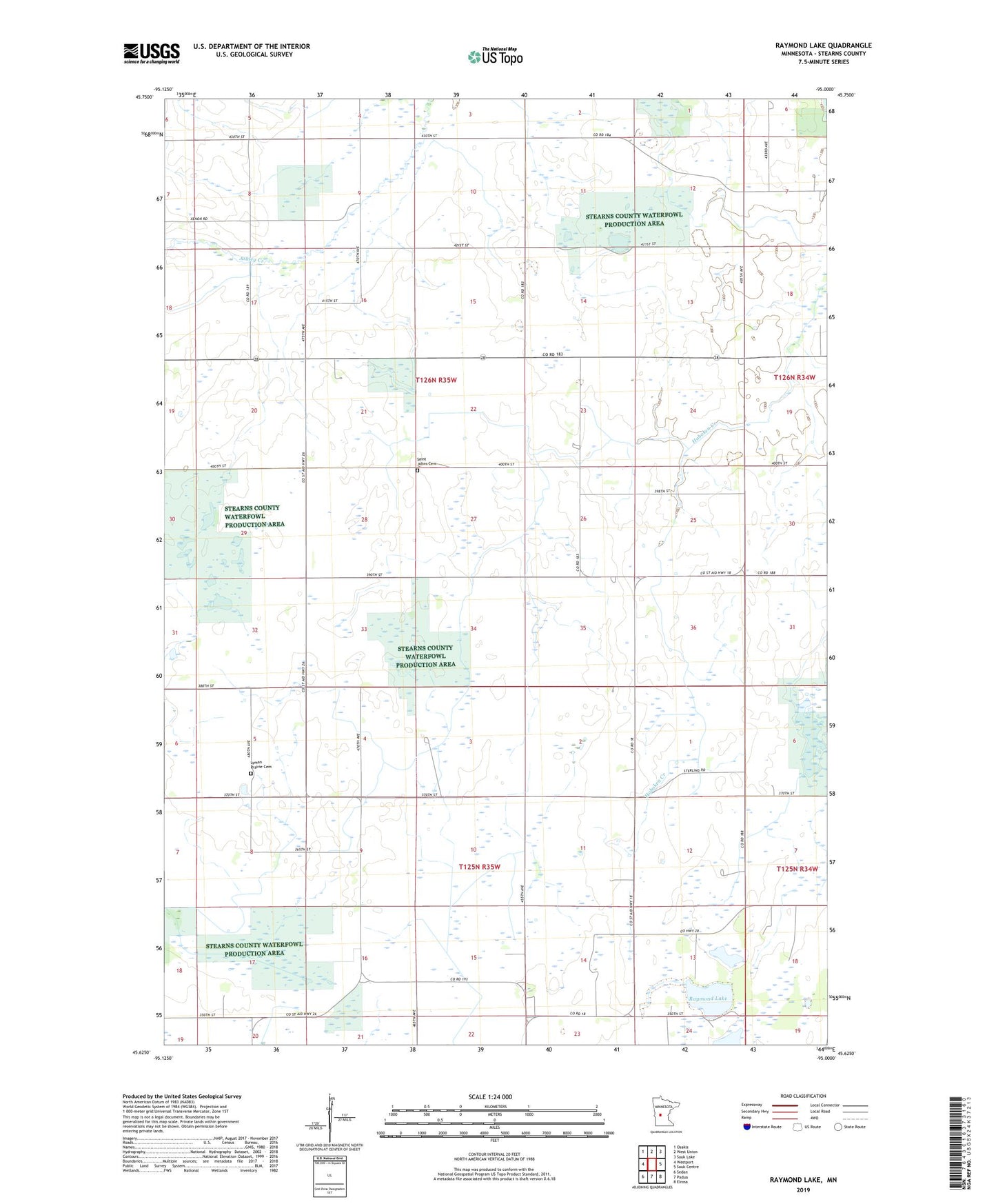
2022 topographic map quadrangle Raymond Lake in the state of Minnesota. Scale: 1:24000. Based on the newly updated USGS 7.5' US Topo map series, this map is in the following counties: Stearns. The map contains contour data, water features, and other items you are used to seeing on USGS maps, but also has updated roads and other features. This is the next generation of topographic maps. Printed on high-quality waterproof paper with UV fade-resistant inks.
Quads adjacent to this one:
West: Westport
Northwest: Osakis
North: West Union
Northeast: Sauk Lake
East: Sauk Centre
Southeast: Elrosa
South: Padua
Southwest: Sedan
This map covers the same area as the classic USGS quad with code o45095f1.
Contains the following named places: KMSR-FM (Sauk Centre), Lyman Prairie Cemetery, Padua State Wildlife Management Area, Raymond Lake, Saint Johns Cemetery, School Number 1954, School Number 1962, School Number 1968, School Number 1990, School Number 1994, Township of Ashley, Township of Raymond