MyTopo
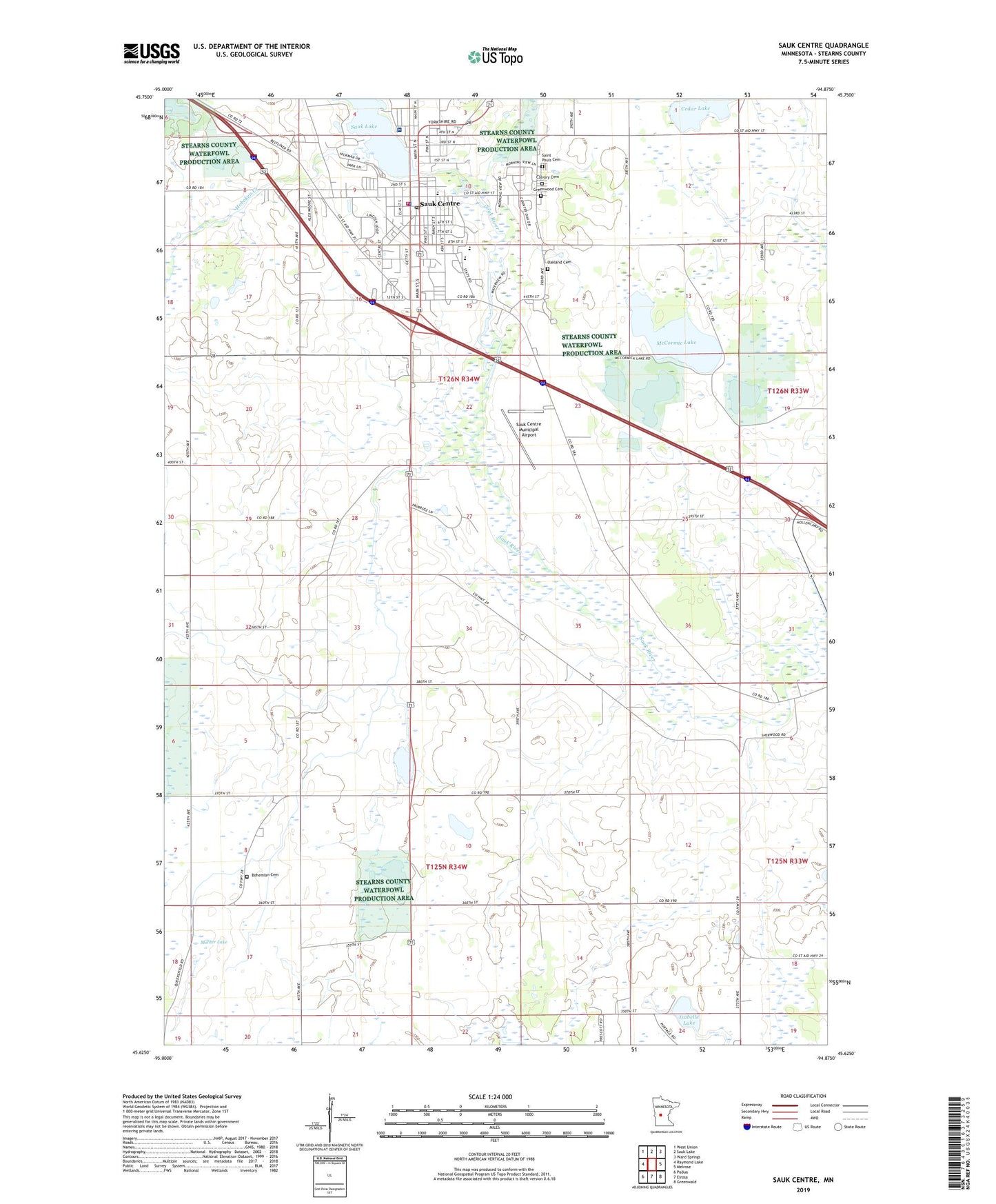
Sauk Centre Minnesota US Topo Map
Couldn't load pickup availability
2022 topographic map quadrangle Sauk Centre in the state of Minnesota. Scale: 1:24000. Based on the newly updated USGS 7.5' US Topo map series, this map is in the following counties: Stearns. The map contains contour data, water features, and other items you are used to seeing on USGS maps, but also has updated roads and other features. This is the next generation of topographic maps. Printed on high-quality waterproof paper with UV fade-resistant inks.
Quads adjacent to this one:
West: Raymond Lake
Northwest: West Union
North: Sauk Lake
Northeast: Ward Springs
East: Melrose
Southeast: Greenwald
South: Elrosa
Southwest: Padua
This map covers the same area as the classic USGS quad with code o45094f8.
Contains the following named places: Assembly of God Church, Bohemian Cemetery, Boyack Mobile Home Park, Boyhood Home of Sinclair Lewis, Browns Park, Bryant Public Library, Calvary Cemetery, Church of the Good Samaritan, City of Sauk Centre, Conservation Park, Faith Baptist Church, First Lutheran Church, First United Church, Greenwood Cemetery, Hoboken Creek, Holy Family School, I-94 Raceway, Isabelle Lake, Jaycees Park, Kingdom Hall of Jehovah's Witnesses, Lakeview Medical Clinic, Main Street Historical Marker, McCormic Lake, Moliter Lake, Oak Lane Dairy Farm, Oakland Cemetery, Our Lady of Angels Church, Saint Anthony's Church, Saint Paul's Catholic Church, Saint Pauls Cemetery, Sauk Centre, Sauk Centre Ambulance Service, Sauk Centre Centra Care Hospital, Sauk Centre City Hall, Sauk Centre Fire Department, Sauk Centre Golf Club, Sauk Centre Municipal Airport, Sauk Centre Police Department, Sauk Centre Post Office, Sauk Centre Public Schools, Sauk River Dam, School Number 1981, Sinclair Lewis Historical Marker, Sinclair Lewis Interpretive Center, Sinclair Lewis Park, Stearns County Fairgrounds, Township of Getty, Township of Sauk Centre, United Methodist Church, Zion Lutheran Church, ZIP Code: 56378


