MyTopo
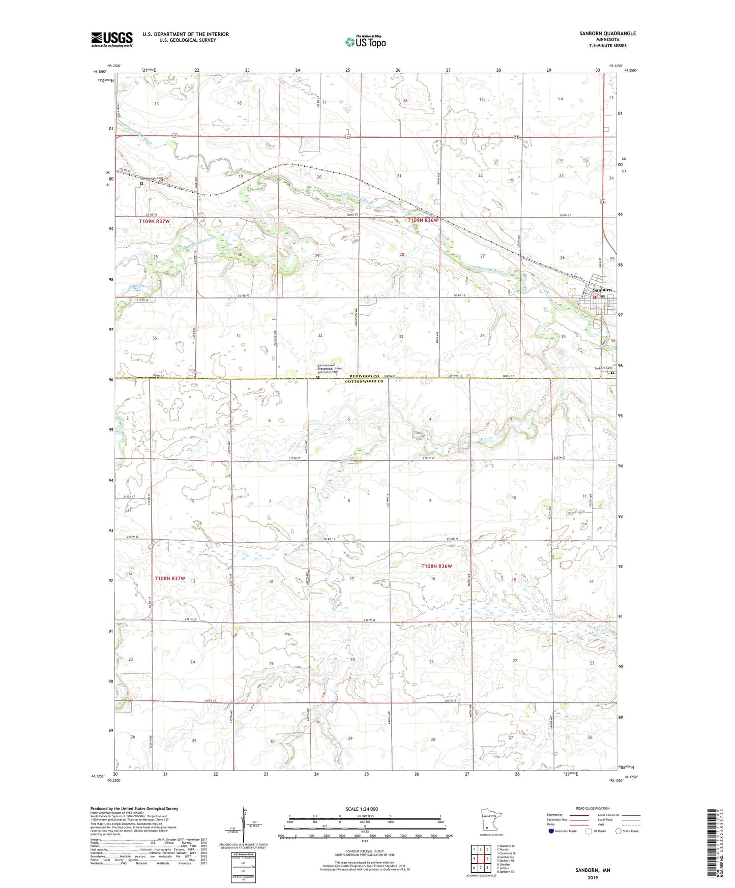
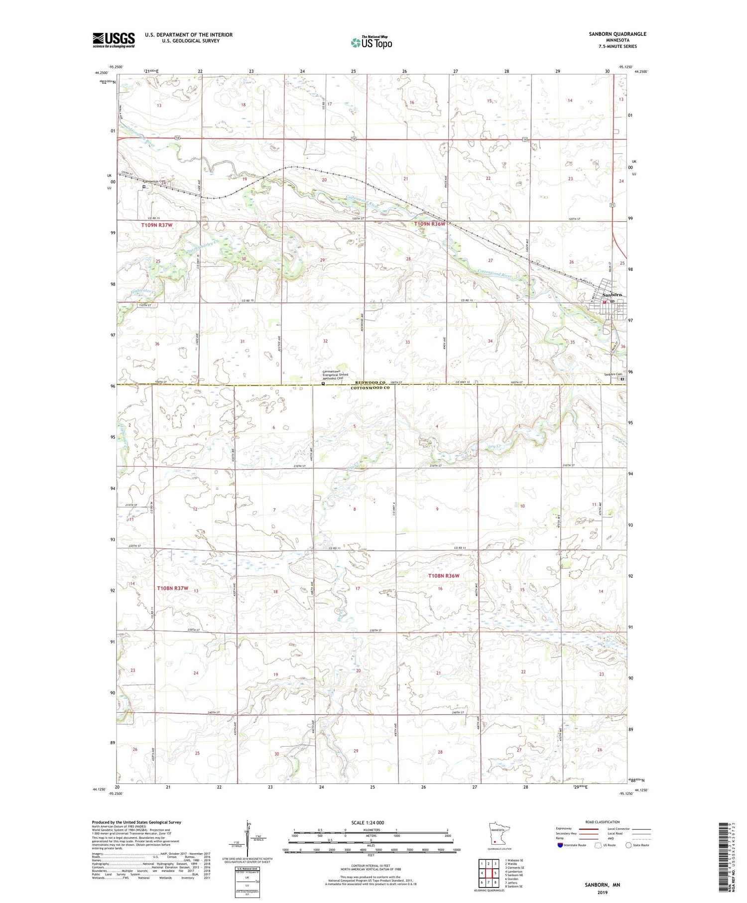
Sanborn Minnesota US Topo Map
Couldn't load pickup availability
2019 topographic map quadrangle Sanborn in the state of Minnesota. Scale: 1:24000. Based on the newly updated USGS 7.5' US Topo map series, this map is in the following counties: Cottonwood, Redwood. The map contains contour data, water features, and other items you are used to seeing on USGS maps, but also has updated roads and other features. This is the next generation of topographic maps. Printed on high-quality waterproof paper with UV fade-resistant inks.
Quads adjacent to this one:
West: Lamberton
Northwest: Wabasso SE
North: Wanda
Northeast: Clements SE
East: Sanborn NE
Southeast: Sanborn SE
South: Jeffers
Southwest: Storden
Contains the following named places: City of Sanborn, Dry Creek, Dutch Charley Creek, Faith Church, Farmers Golf and Health Club, Germantown Church, Germantown Evangelical United Methodist Cemetery, Highwater Creek, Lamberton Cemetery, Saint Thomas Church, Sanborn, Sanborn Cemetery, Sanborn Post Office, Sanborn Town Hall, Sanborn Volunteer Fire Department, Soldiers and Sailors City Park, Township of Charlestown, Township of Germantown, Zion Evangelical Lutheran Church, Zion Lutheran School, ZIP Code: 56083